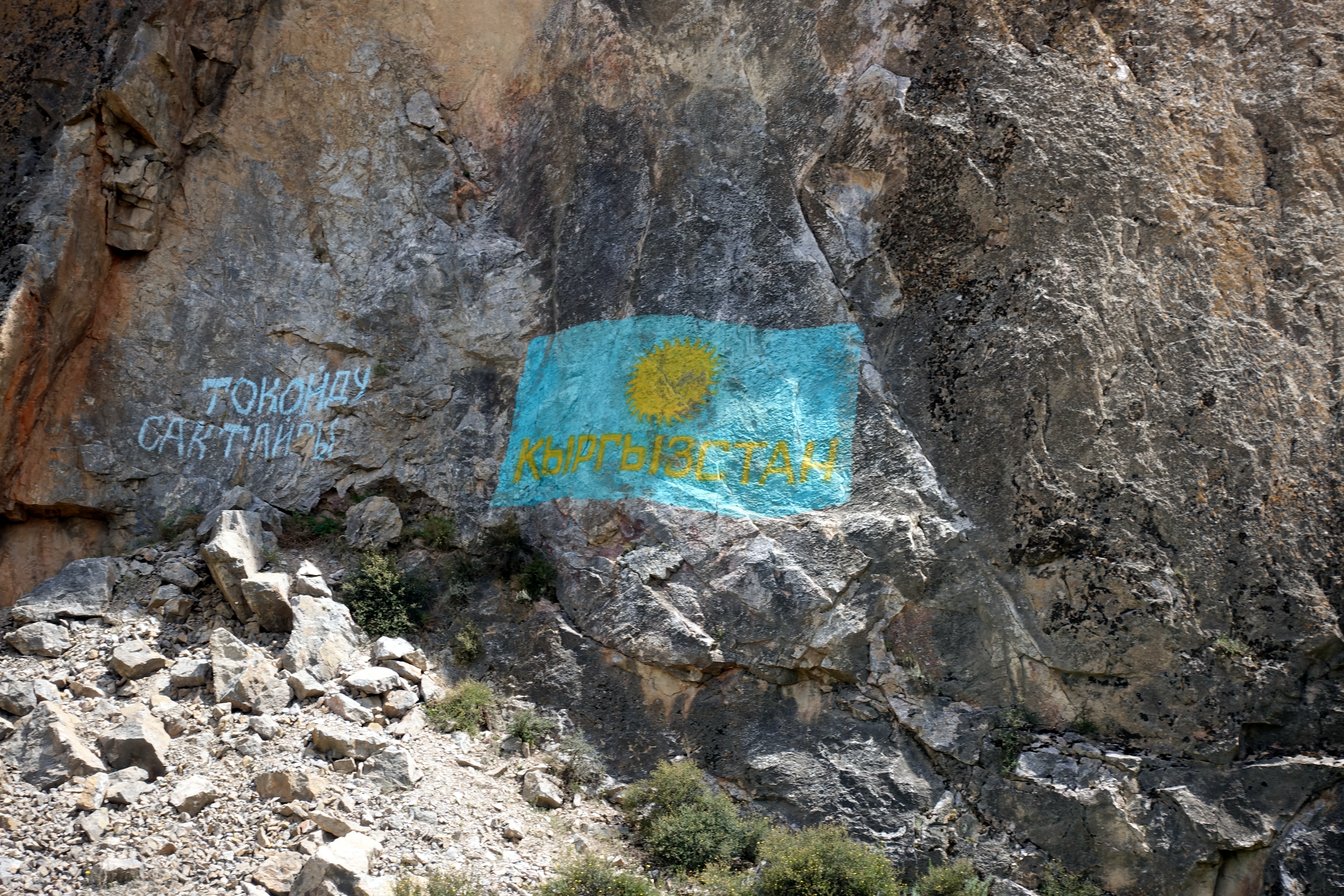
The next two posts detail what was later described to us as a pretty rough road. Hearing feedback from our friend, who is about 1.5 months ahead of us, they found this stretch more challenging than the M41 (Pamir Highway) route in Tajikistan, our next destination. Obviously, some people may find these road a cakewalk, but our specific bike set-up didn’t make climbing the multiple 3000m mountain passes easy. At the end, I think both of us were wishing for two separate full-suspension bikes and nearly no luggage
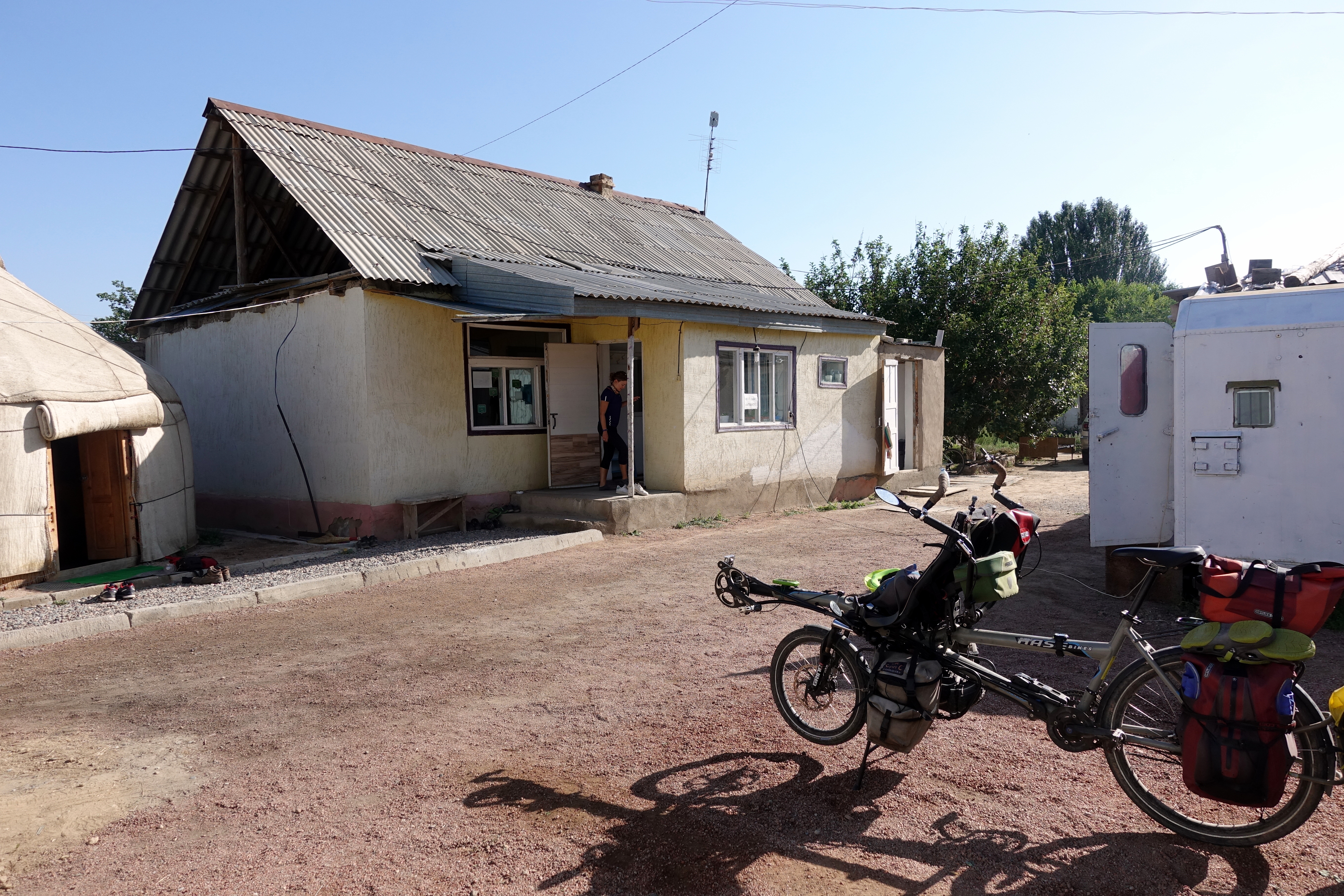
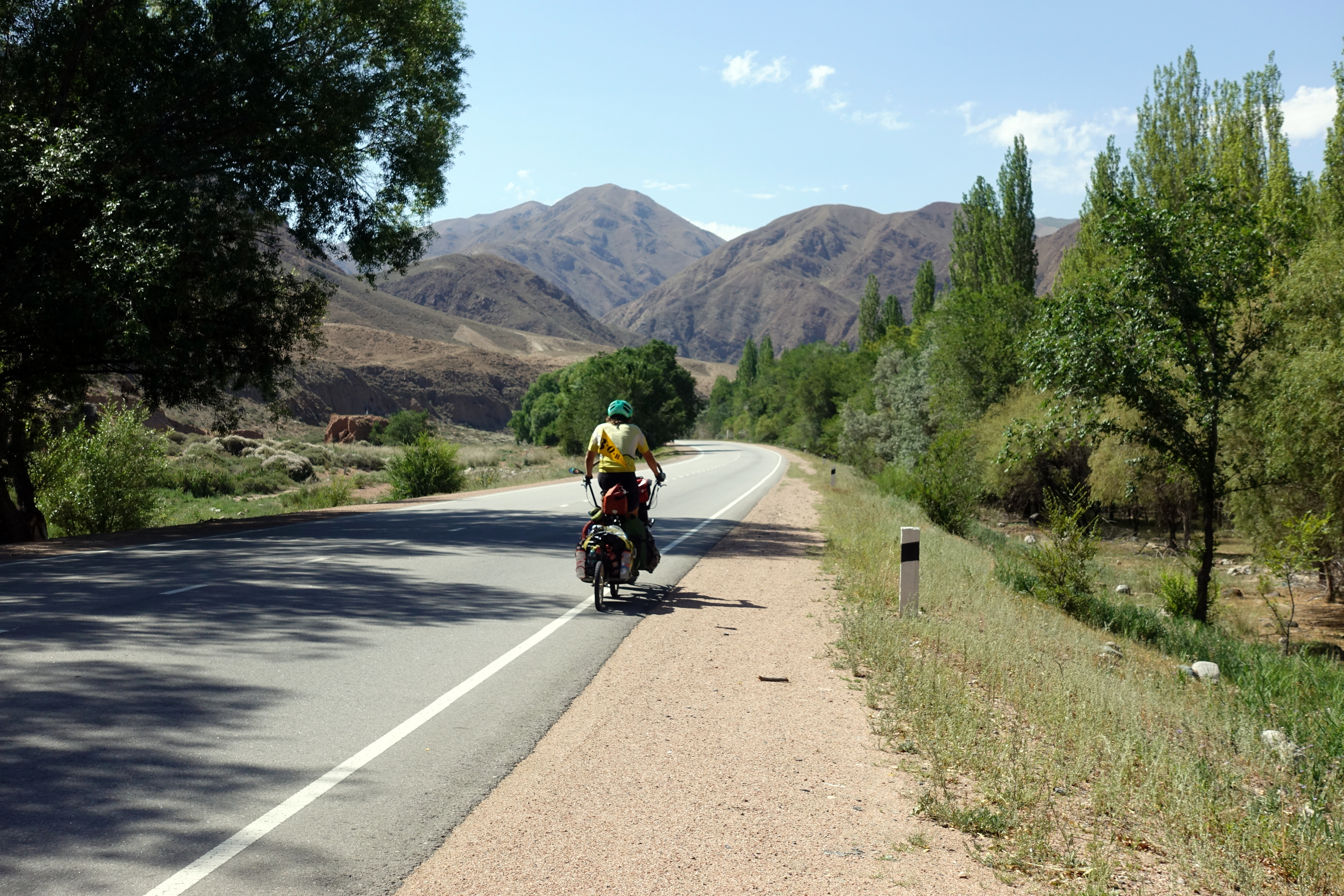
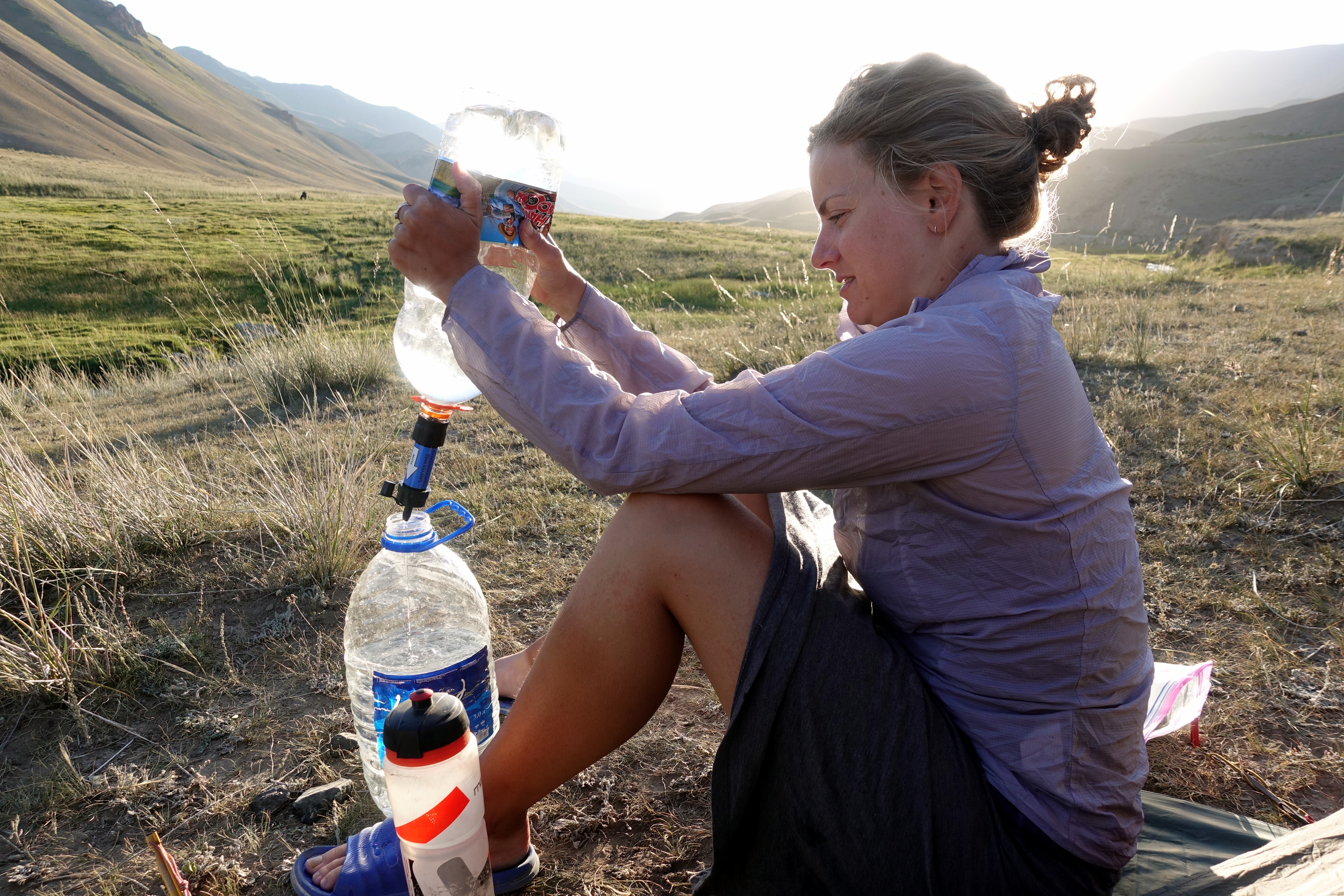
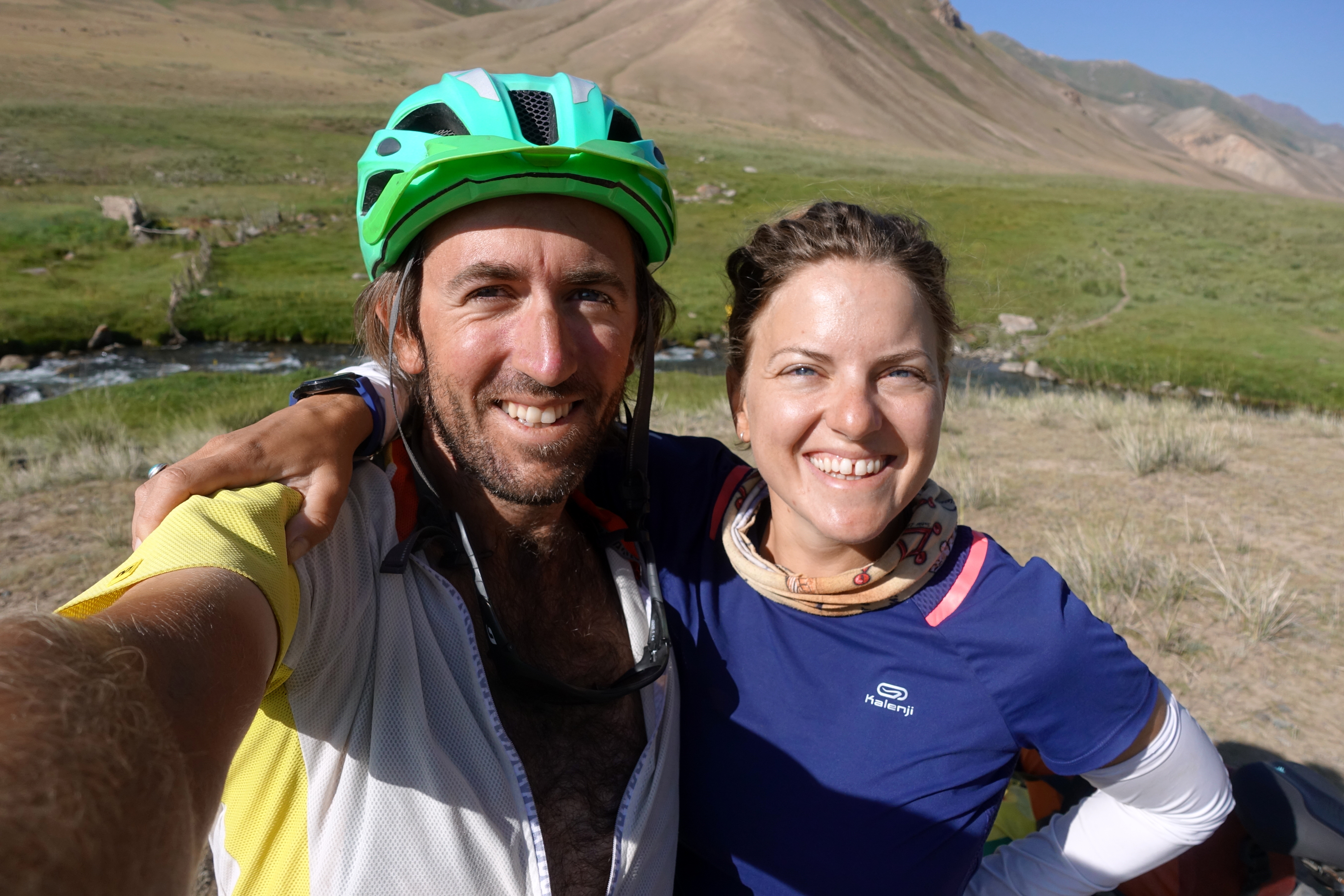
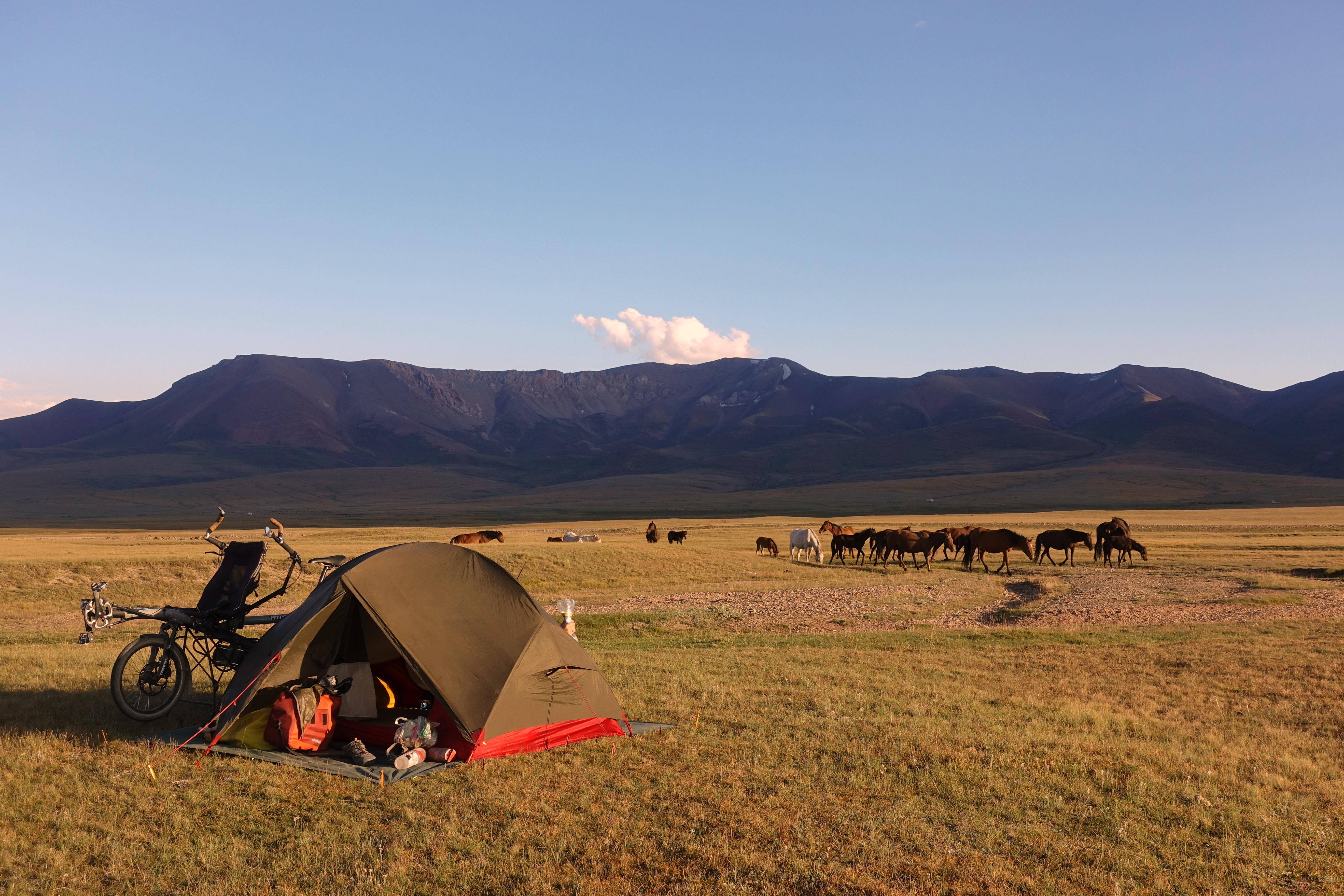
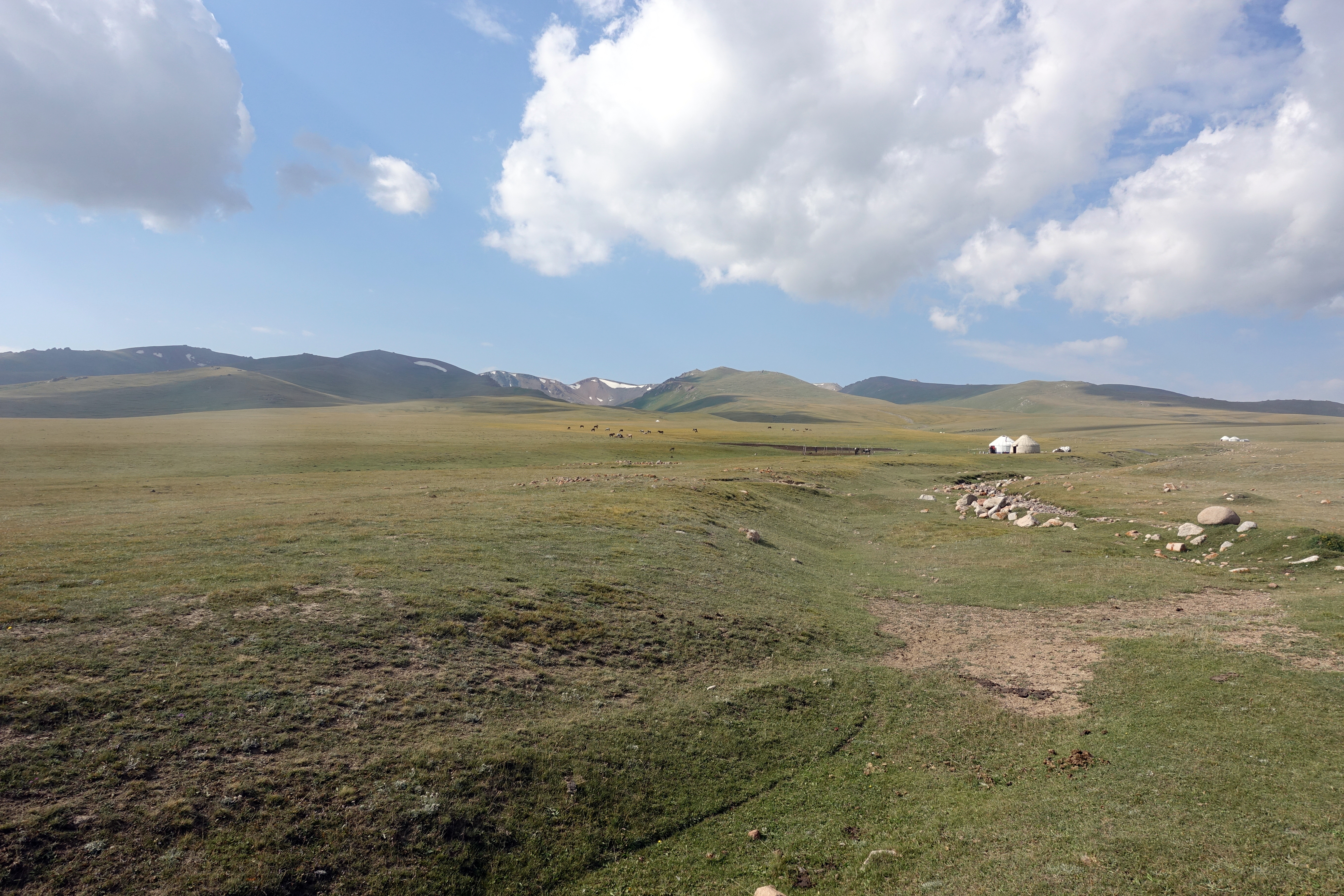
After a night of inadequate hostel sleep (thank you group-travelers…), Cédric and I loaded up the bike and set off for Song Kul lake. From what we gathered from the hostel talk, visiting this lake is on many guide books’ top things to do in Kyrgyzstan. For us, not having much of a plan, the Song Kul was on our route towards Osh, so we decided to check it out, although the traverse implied two mountain passes at over 3000m. As we were leaving Kochkor, we stocked up on three days’ worth of food (including three cans of the worst quality of sardines imaginable) and some medicine for my horse allergies. Shortly outside of the city, the asphalt became gloriously smooth once again and we began the slow climb going south. Coming from the arid landscapes of Issyk-Kul, the views along this route took another dramatic change and became copper canyons. After lunch at a small restaurant, we said goodbye to good roads and turned west on a gravel road that would bring us towards Song Kul. In the late afternoon, Cédric and I found a flat spot that was suitable for camping: far enough from the dirt road and the dust of cars, and close enough to a river to drink and for washing-off that same car’s dust of the day. In the evening, as we were ‘enjoying’ our first meal of ketchup, pasta, and sardines, we watched the men from the nearby farm shepherd horses up to a yurt several hundred yards/meters up the mountain.
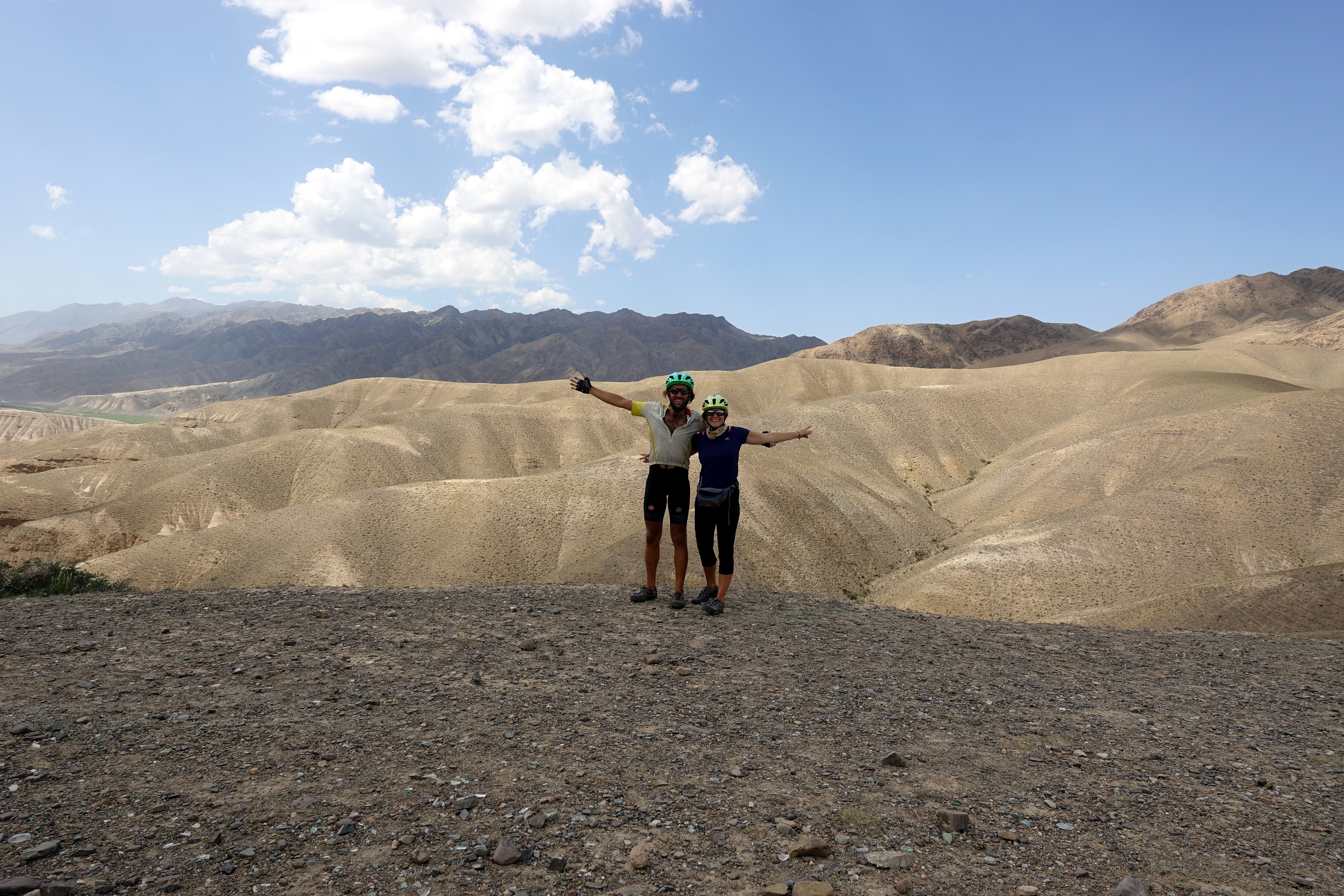

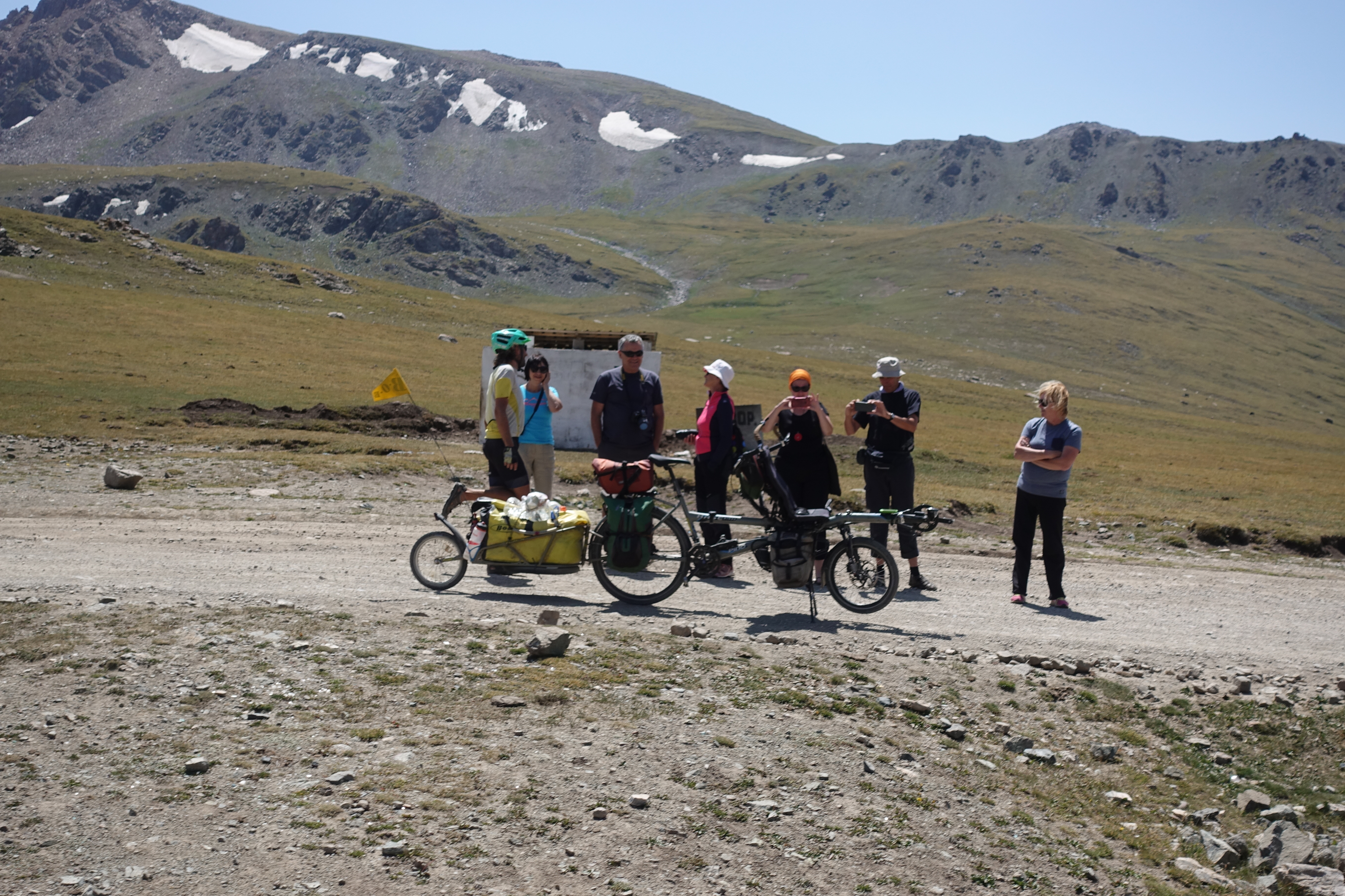
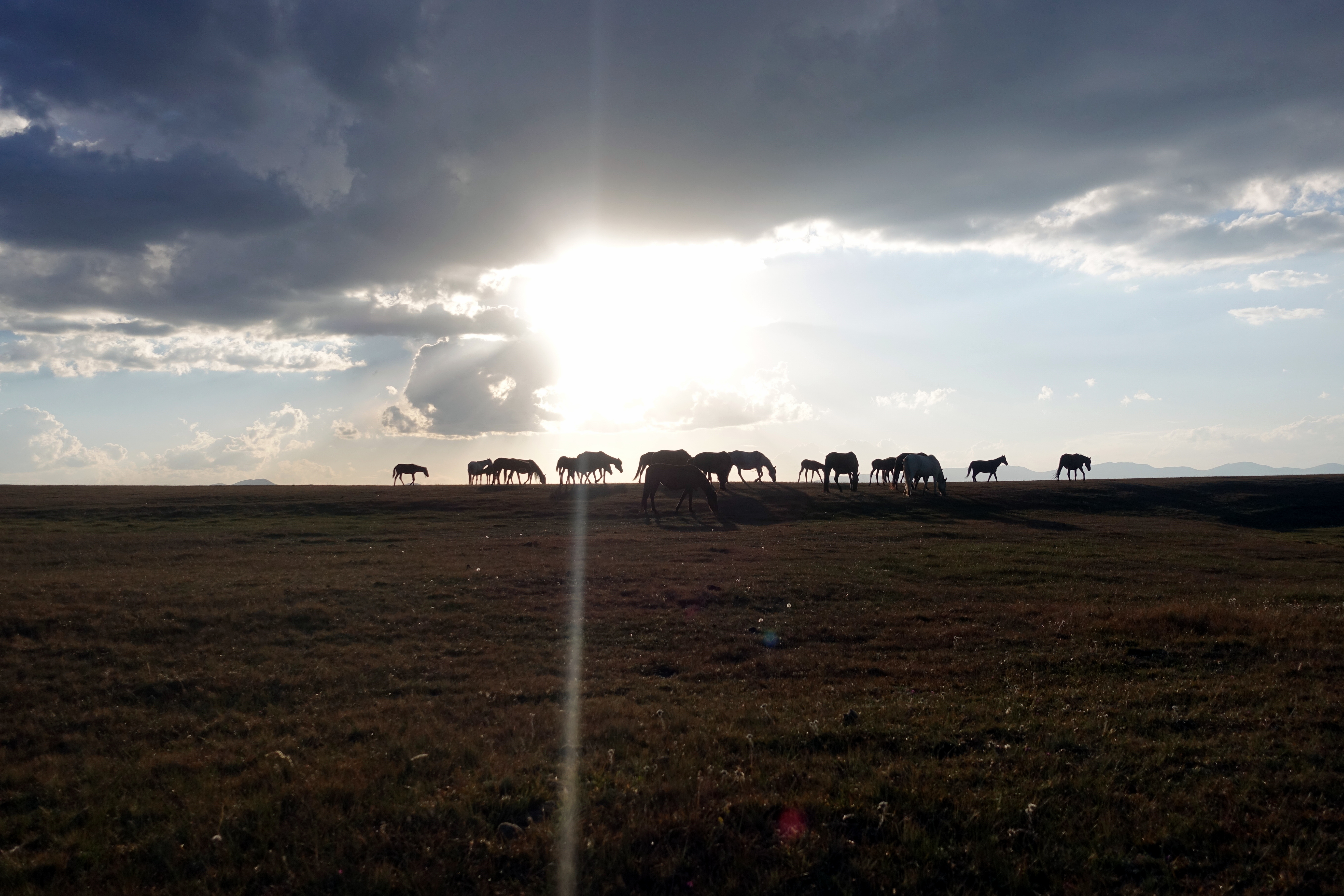
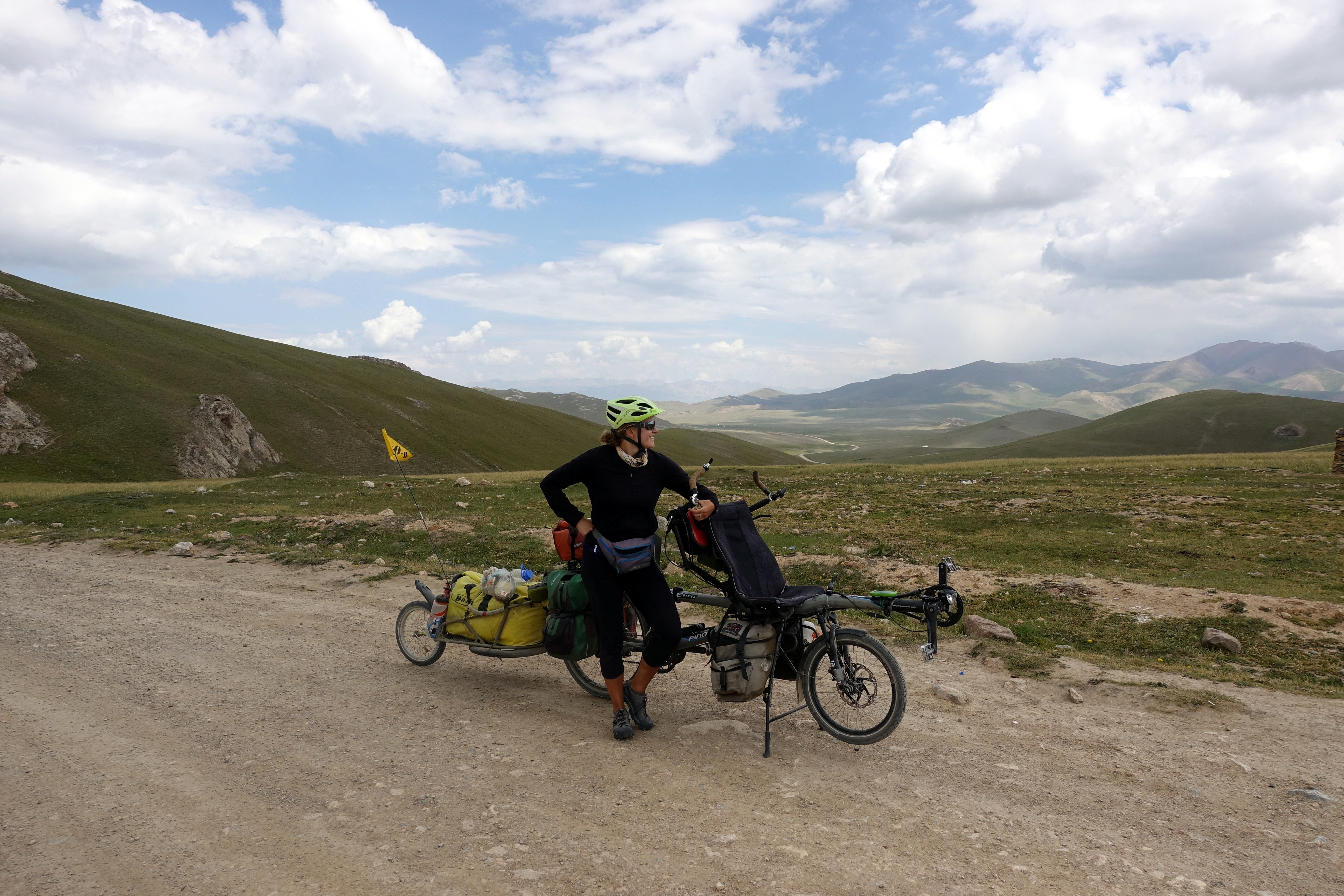
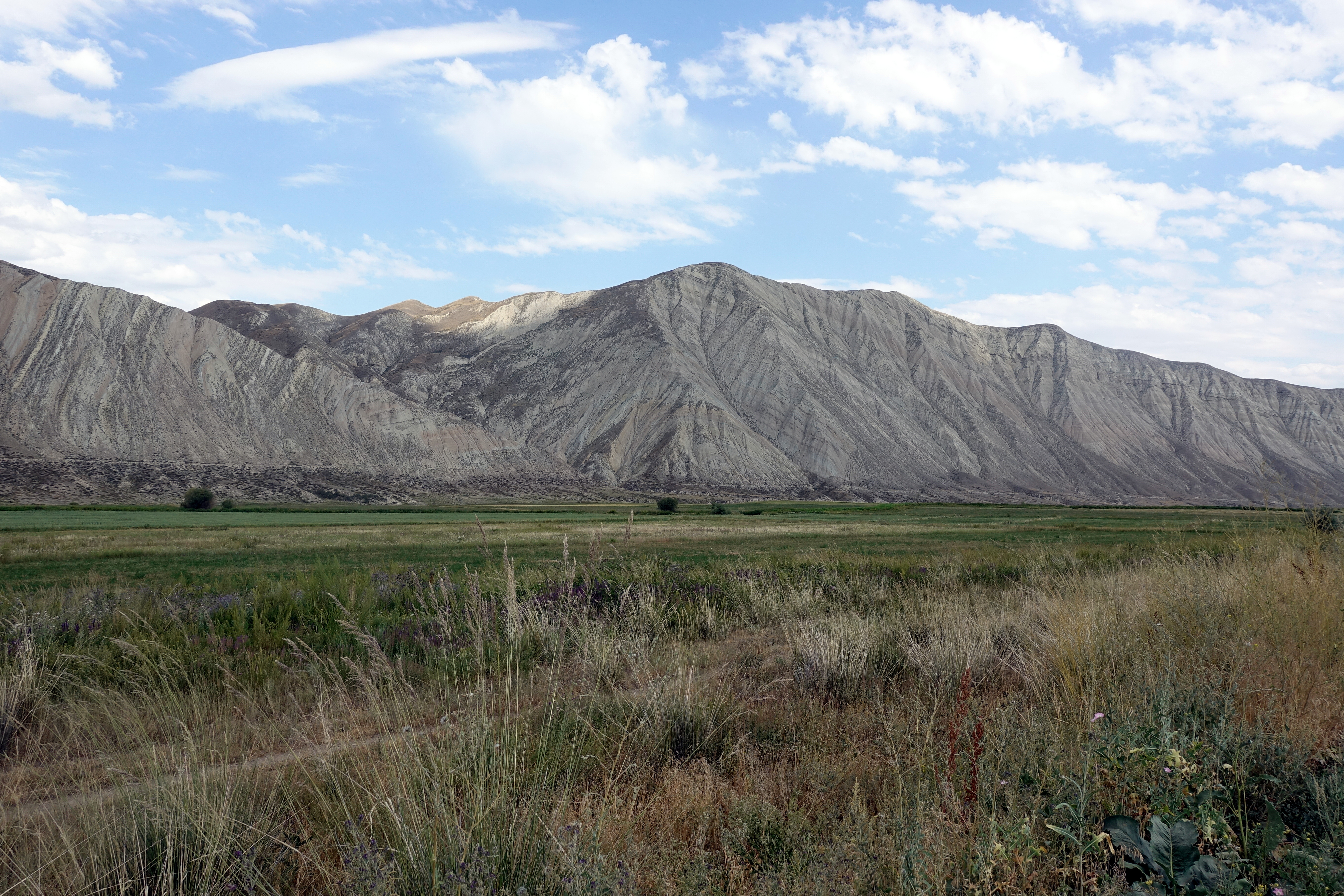
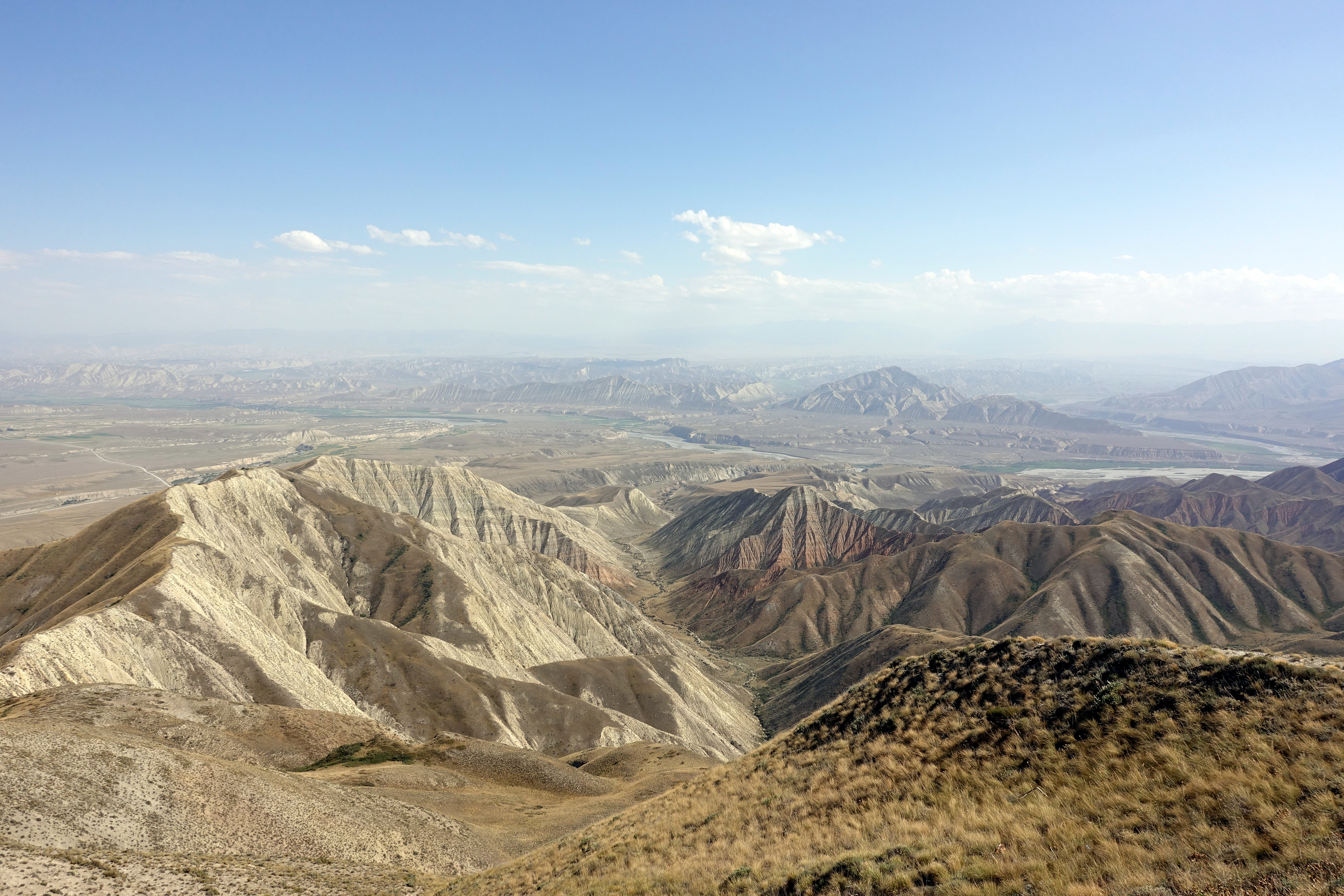
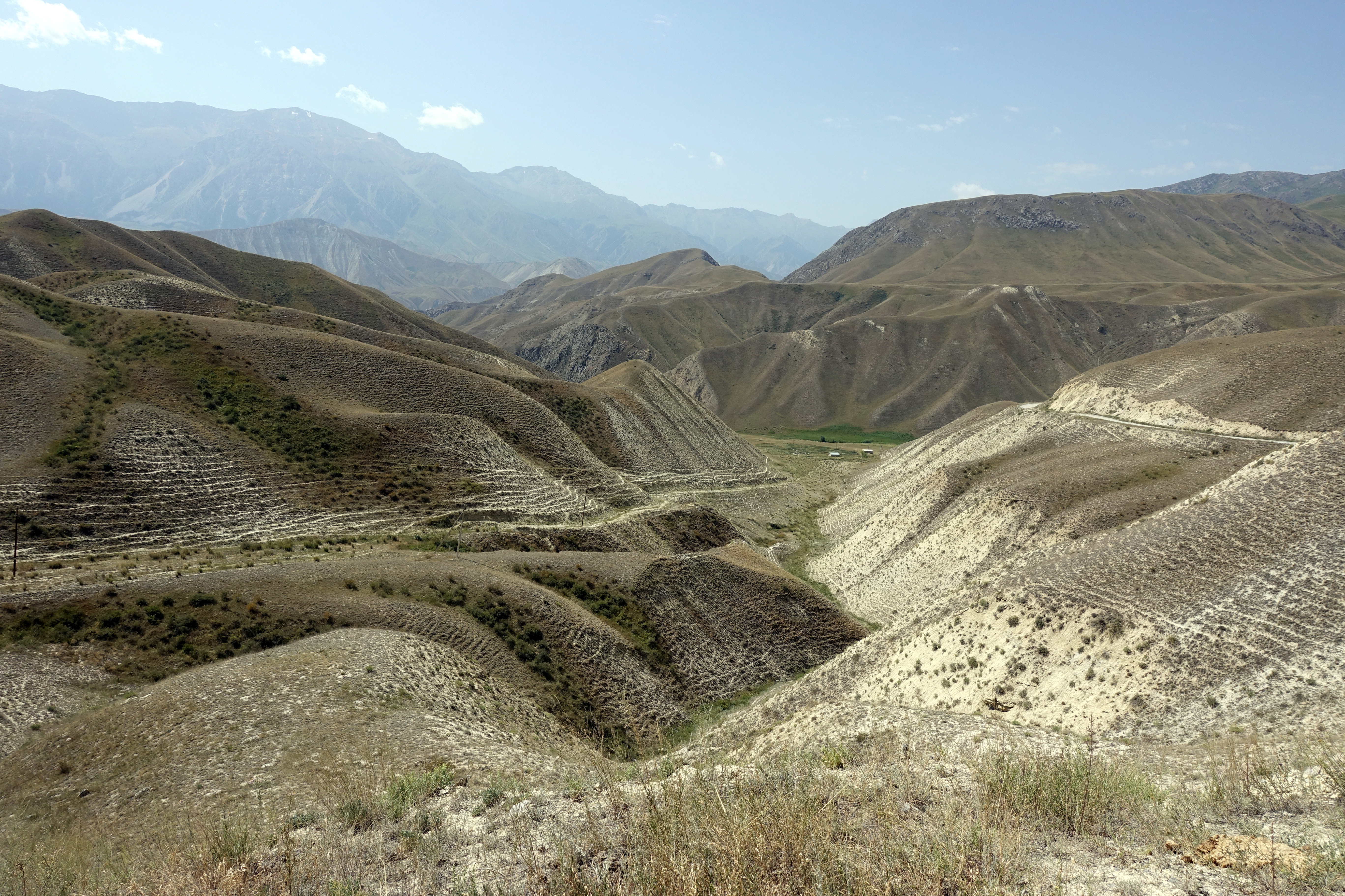
The next morning, we awoke to clear blue skies and set off to tackle what would be our highest pass on the trip for the next few weeks: 3450 meters. The day’s ascent began at 2400 meters of altitude, with only 15 kilometers to clear the pass. Going up took us the better part of the morning for many reasons: 1. the gravel road was steep and loose at some points, requiring us to push and 2. we met or passed by 8 cyclists on our way up – about as many as the previous 3 months. Whenever we crossed paths with other cyclists, a good 15 or 20 minutes was spent swapping stories and sharing route details – informing the others about which road to take and notes about good camping spots. Finally, around 1pm, we reached the pass and our joy was shared with a tour group of 20 Slovenians (with one who thoughtfully offered to take pictures of us with our own camera). We spent another hour descending into the Song Kul plateau before stopping on the side of the road for lunch. It was here that we noticed that something was amiss with our rear wheel axle as we were packing (something wasn’t tight), but just tightened the screws and slowly went down the road to look for a spot to camp for the night. Song Kul was much larger than we imagined (about 29 km at its widest) and circumnavigating the lake seemed endless. Although it looks like a large plateau, the dirt road is rarely flat, full of rocks and loose gravel, and we were struggling over the tens of kilometers of washboard (thanks again to speeding cars and buses, like if the dust wasn’t enough), so the speed wasn’t much faster than going up the pass. We also considered camping on the edge of the lake, but that dream died once our GPS told us that the lake was still over 2 km from the road. In the evening, we were greeted by passing herds of horses, all watching us suspiciously as they strode by.
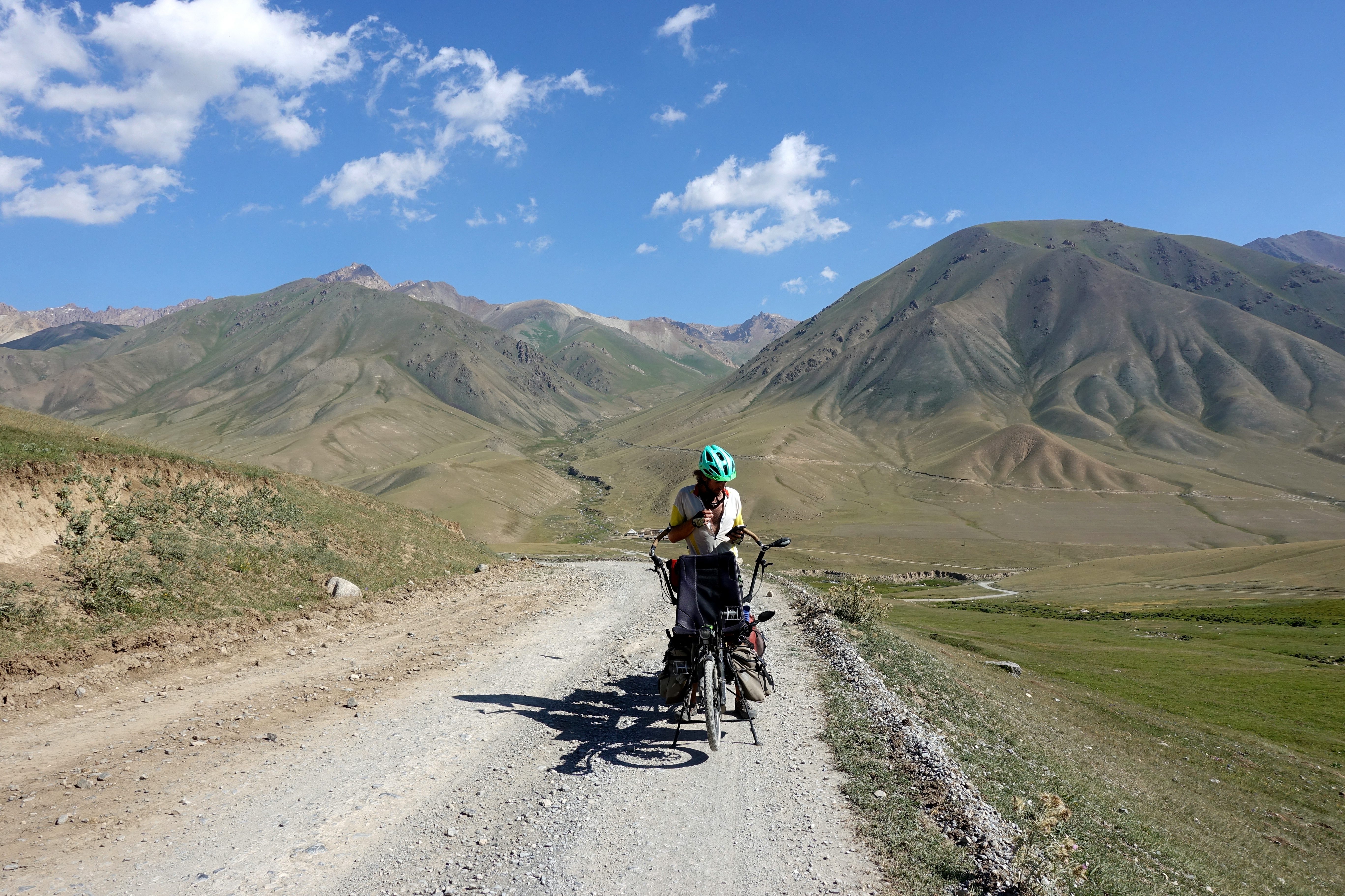
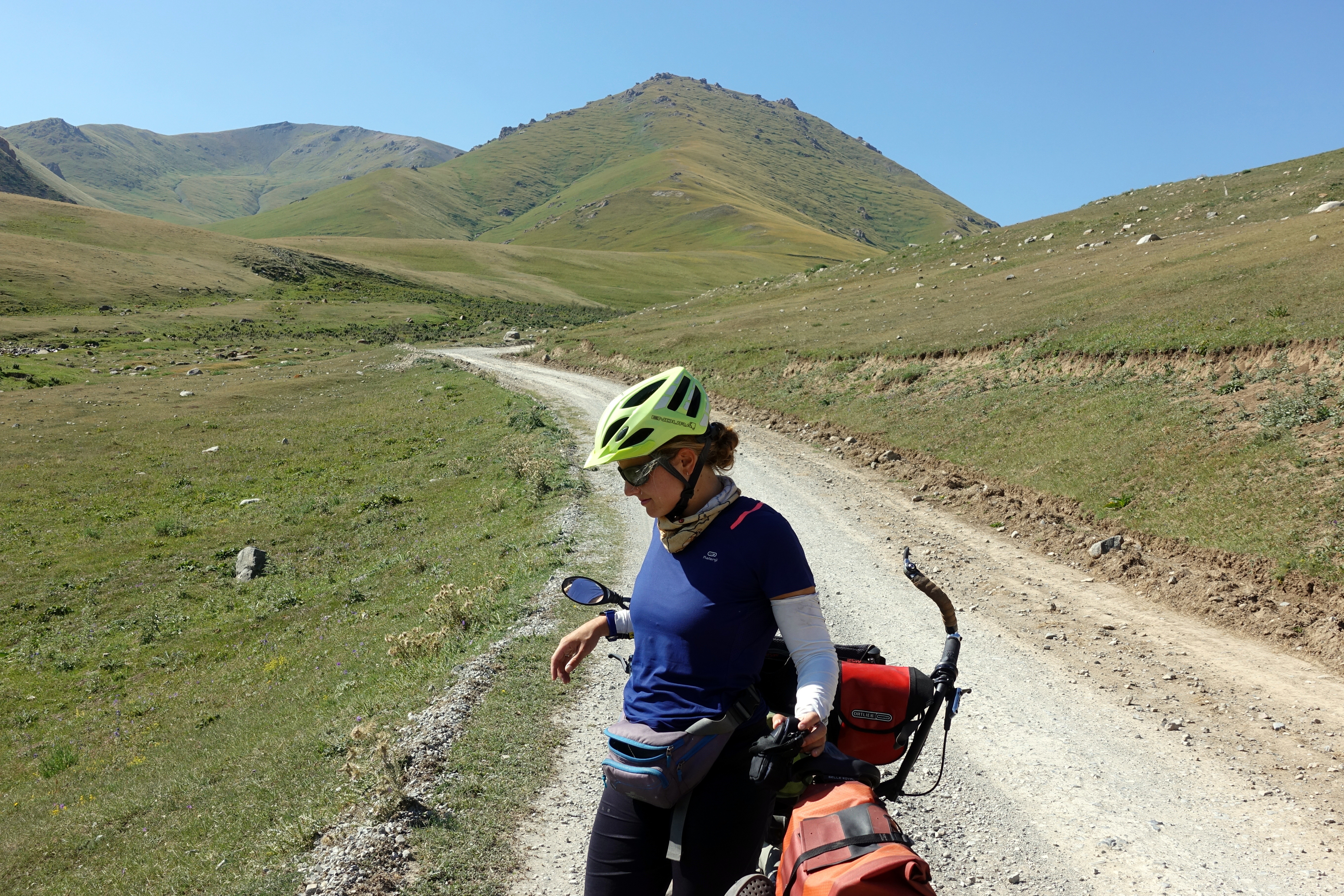

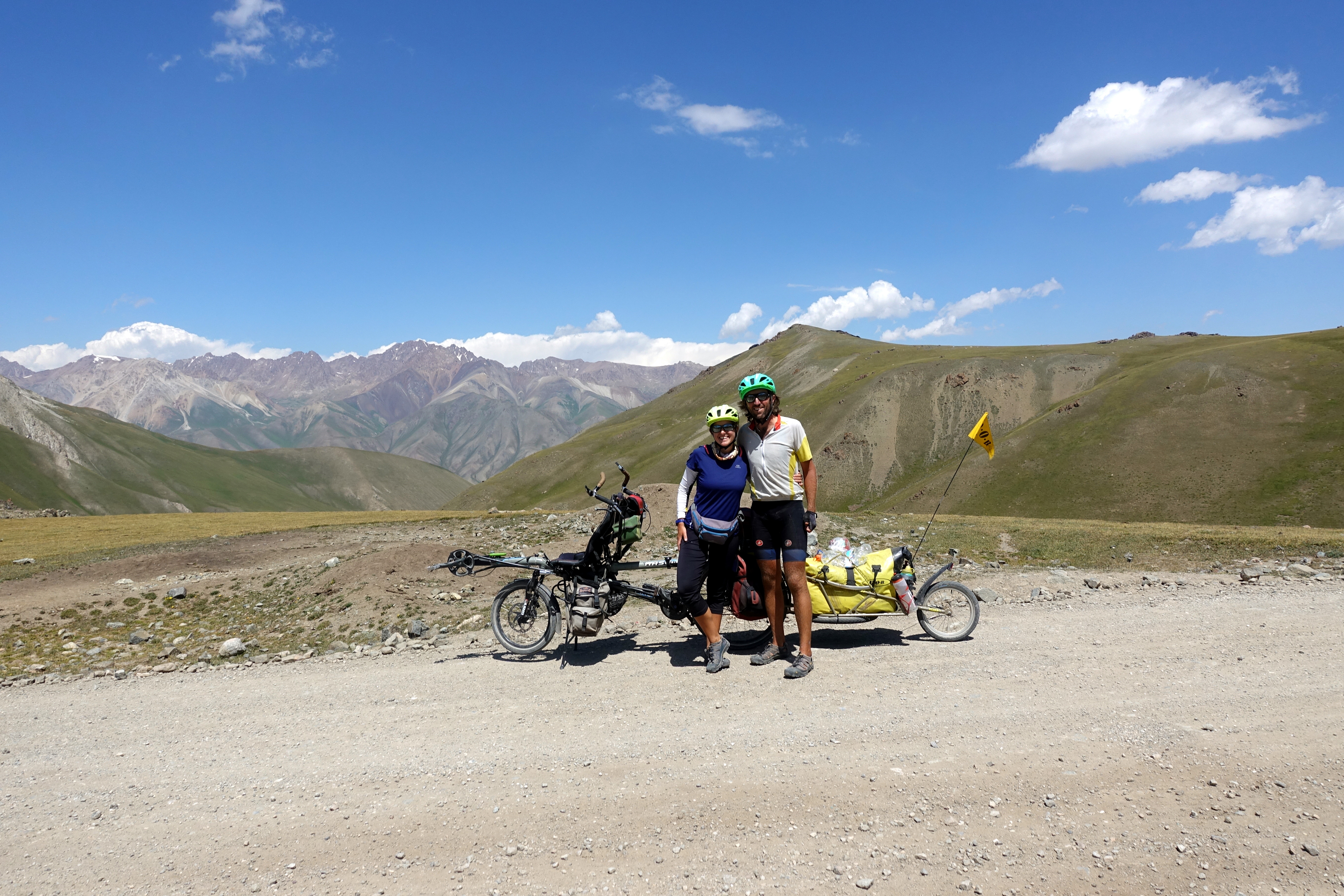
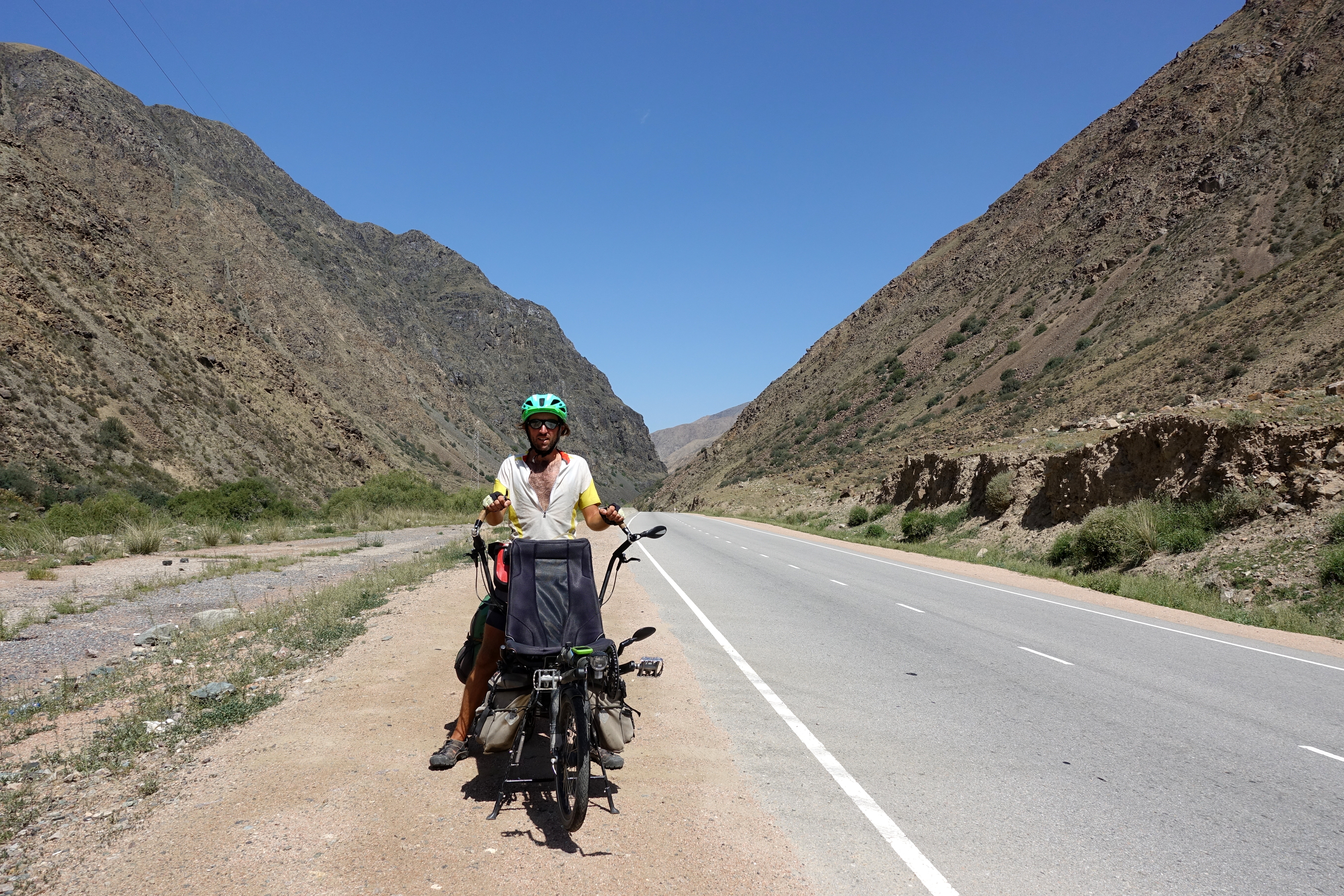
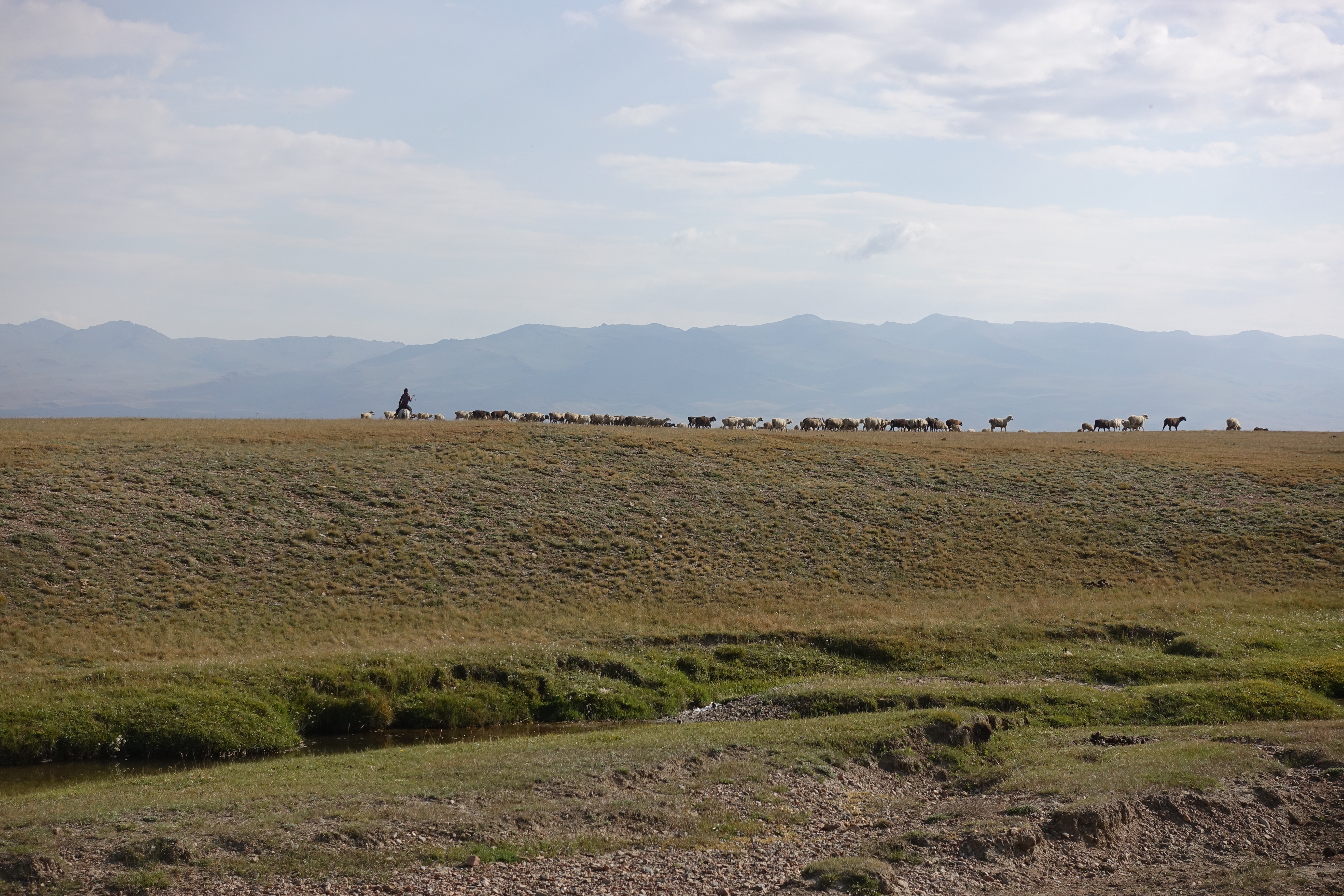
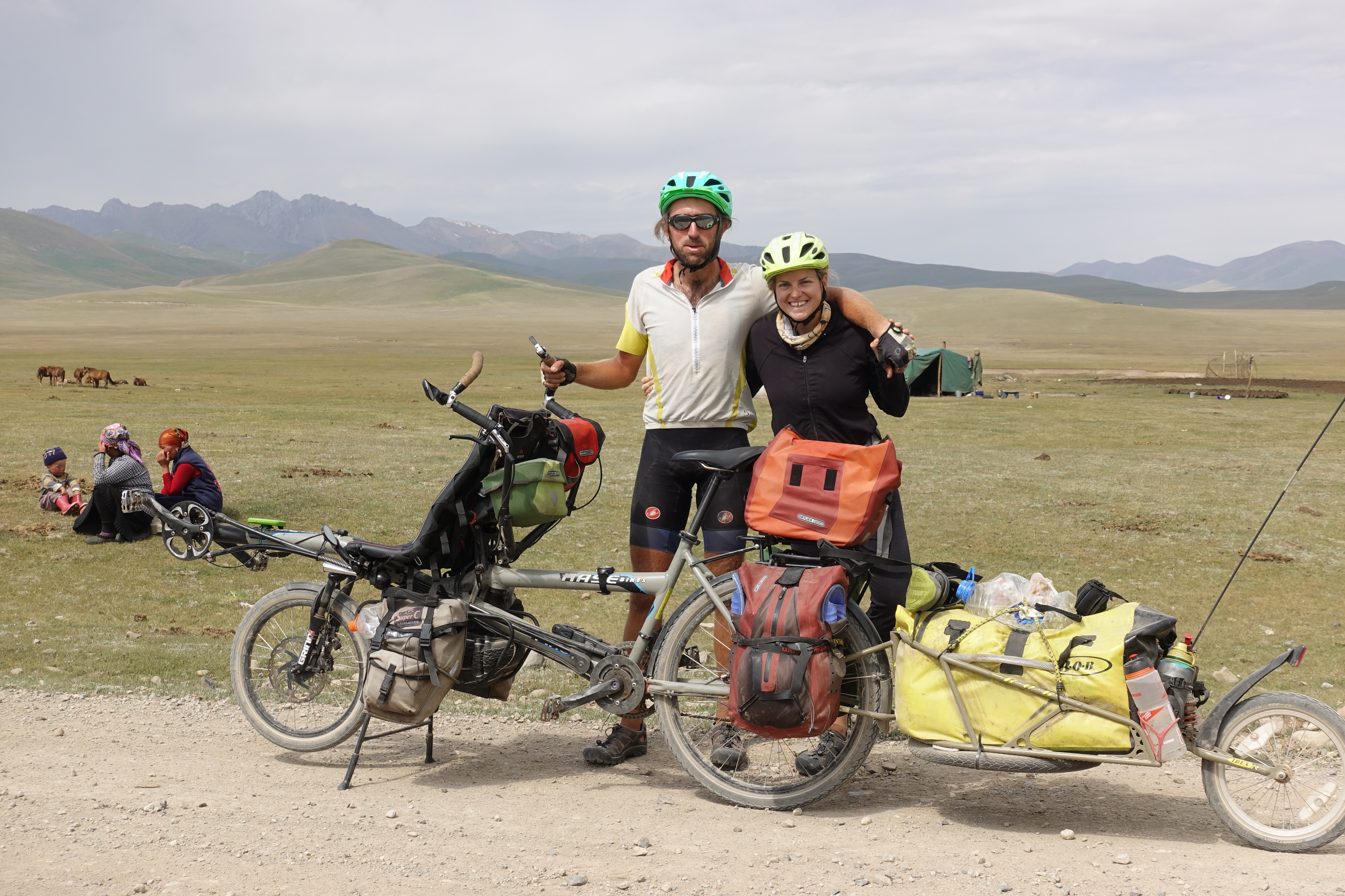
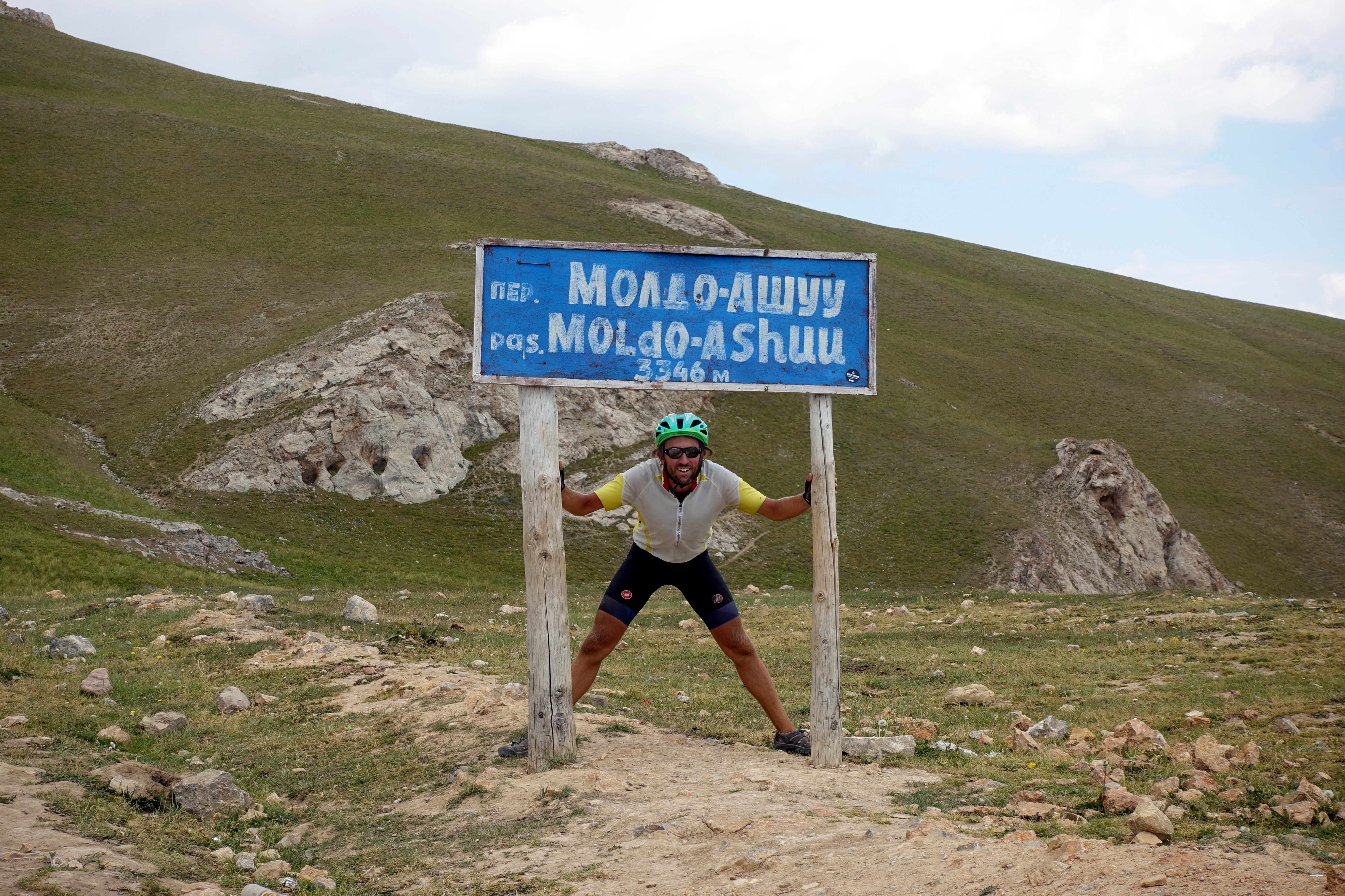
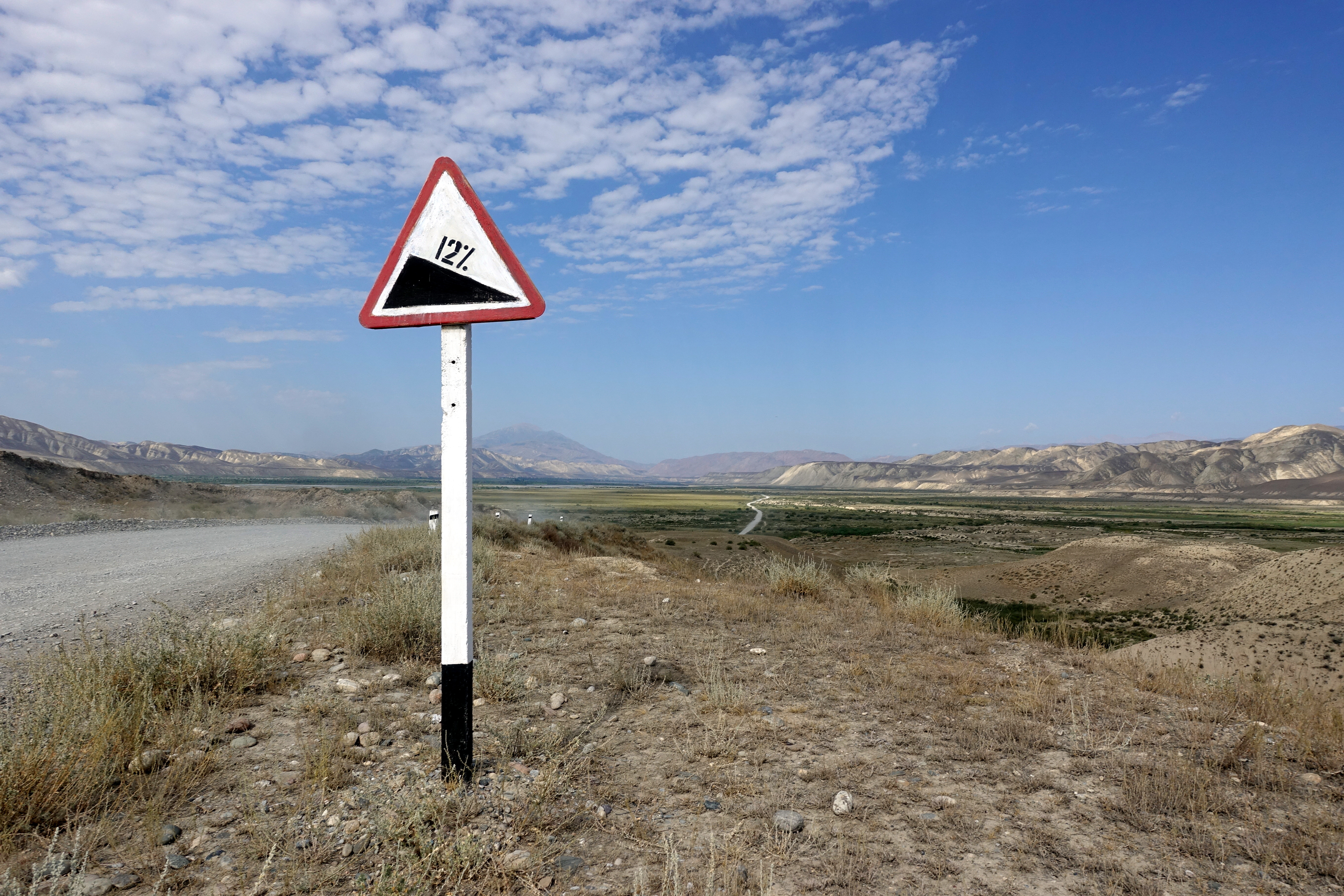
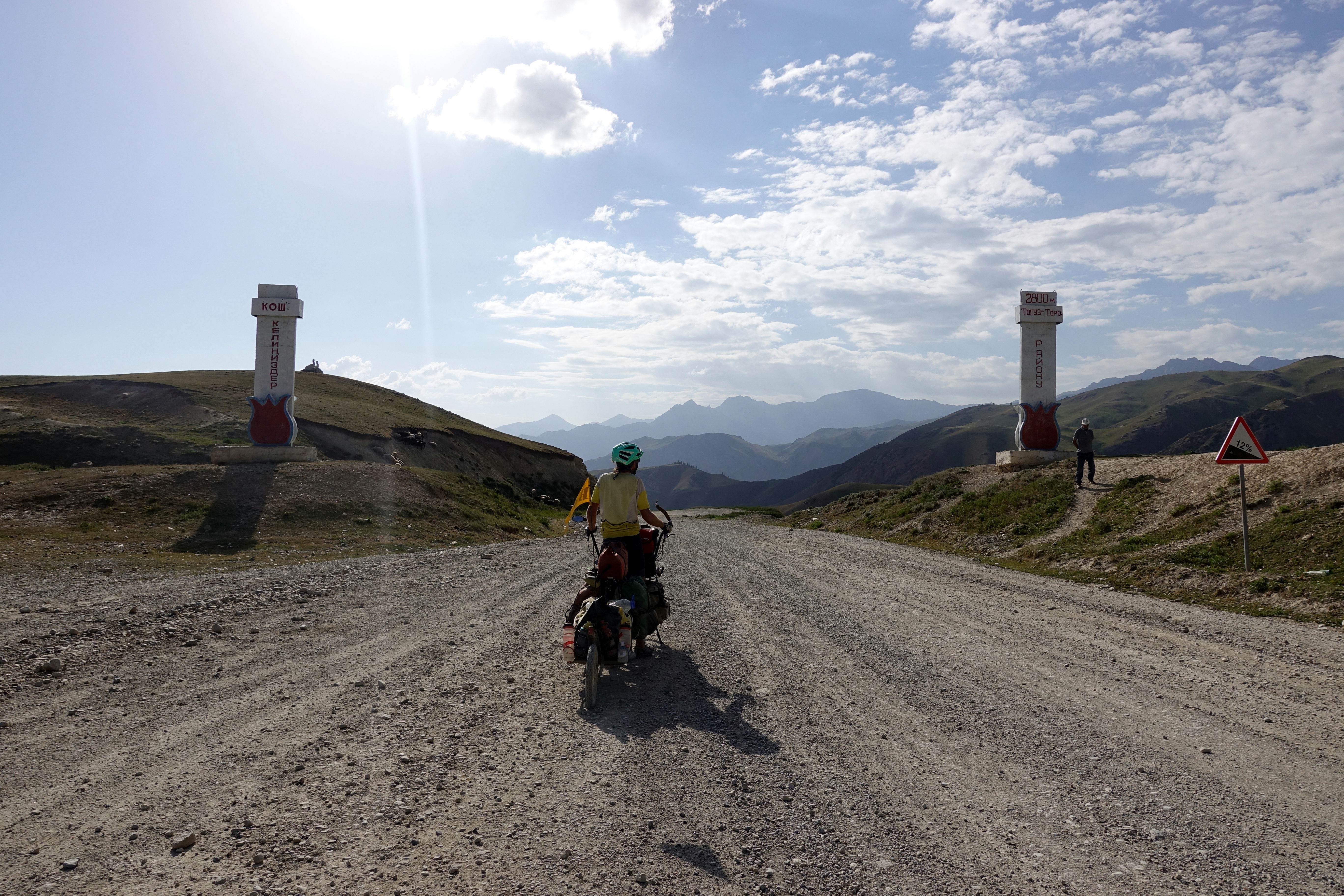
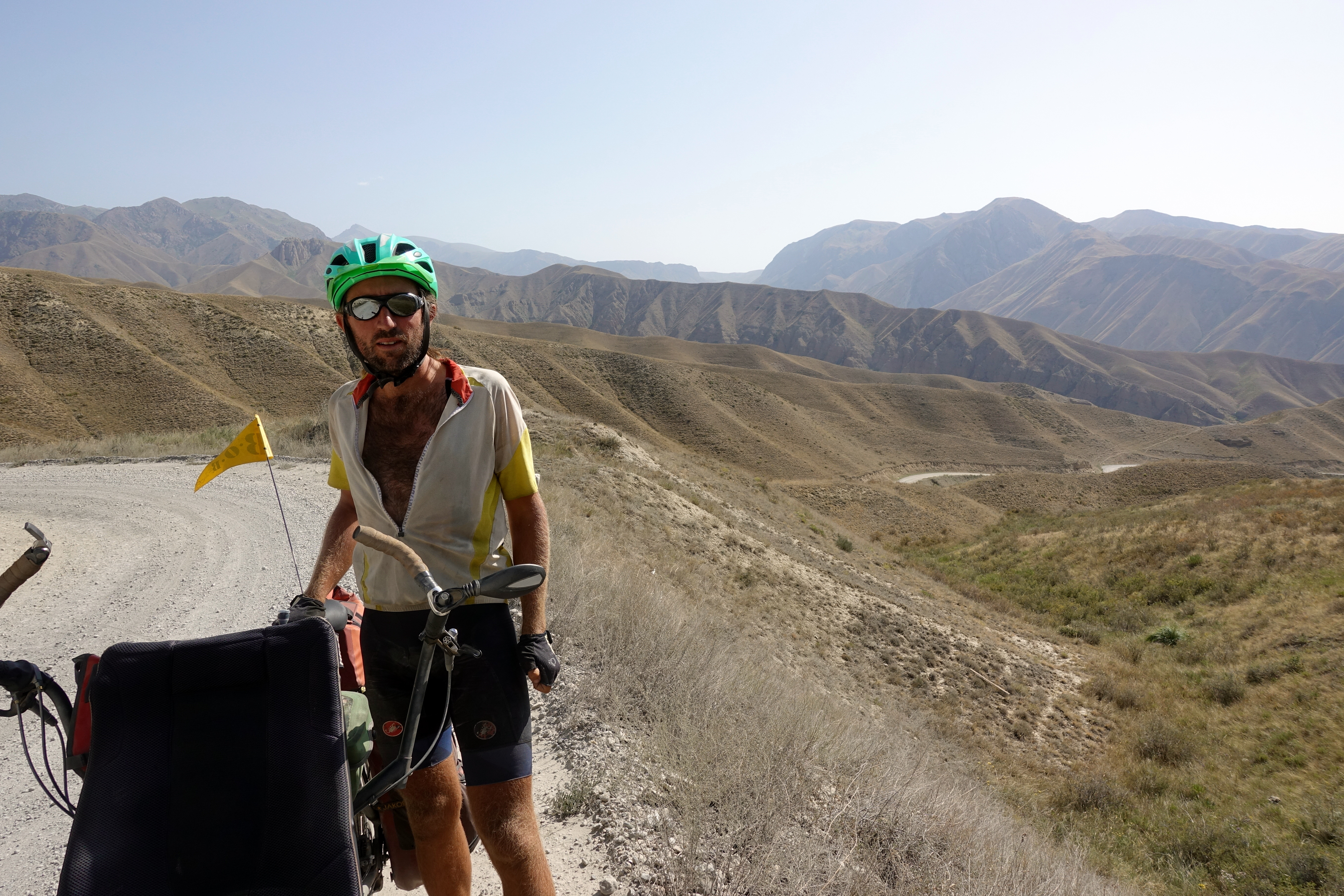
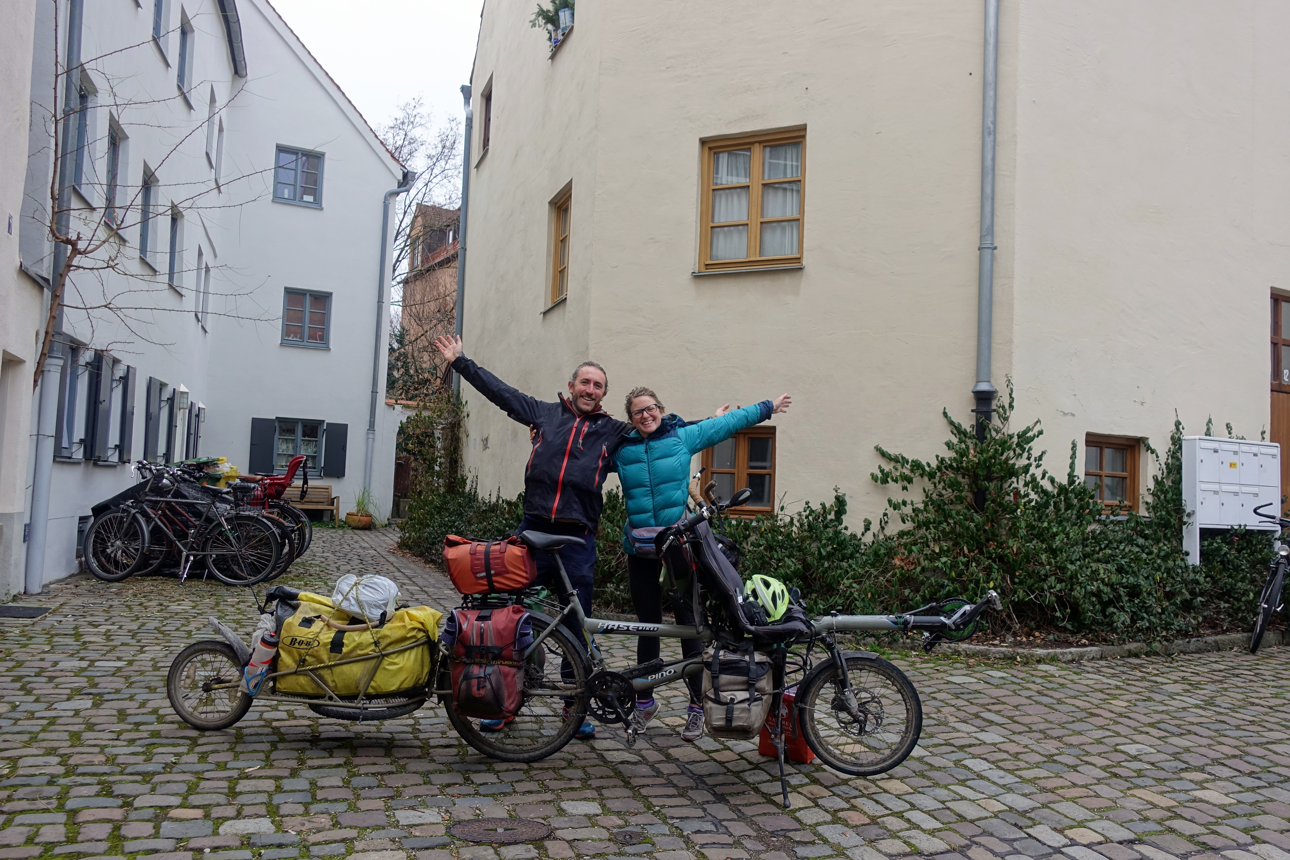
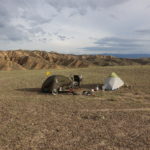
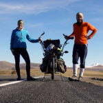
Waking up in the cool morning at 3000 meters, we ate breakfast inside our tent as we waited for the sun to warm up the area. With a slight breeze, we rode off in the direction of the Moldo Ashuu Pass, passing by yurt settlements as we continued. These yurts were sometimes used for tourist accommodations and others were inhabited by shepherd families, who went up into the mountains for the summer season to manage horses, cows, and sheep. Just as the day before, we slowly cycled towards the pass and were greeted by new scenery and landscapes. If you are not sure to be at the pass, just look at the road in Central Asia – it seems like the tradition is to drink a bottle of vodka and smash the glass on the ground if your Lada has made it up to the top! So second pass at 3250m reached at noon. From now on, 45km and 1800m of descent. It would sound easy and exciting if we were anywhere else or on a lightweight full-suspension bike (and probably would take less than an hour…), but we finished the descent at 5pm, exhausted from steering the 220kg down the road, alternating between washboard, large loose rocks and trying to not damage anything else on the bicycle. We finished the day camping near the Naryn river together with Simon and Steffi, two German cyclists that we had caught up on the first 3400m pass the day before. Here, as Cédric was tightening the bike’s screws from all the rattling and rocking, he found that the screw of the rear axle had sheared off at some point. The axle is a pretty critical piece since it’s what keeps both the trailer and the wheel attached to the Hase Pino. After some deliberating, we decided to zip-tie the trailer arm to the tandem’s stays and hope for the best as we continued our way to Osh, where there’s the closest bike shops and repair guys (still over 400km of dirt path away!). If anyone’s counting, we’re currently 1/4 for being able to repair/replace in situ the things that we broke on the bike (1. the tire/tube (√) 2. The handle bar 3. The kickstand screw and now 4. The axle screw). Of all the replacement parts we’re carrying with us, most of it seems like unnecessary weight at this point, and it is obviously the unplanned that is happening!
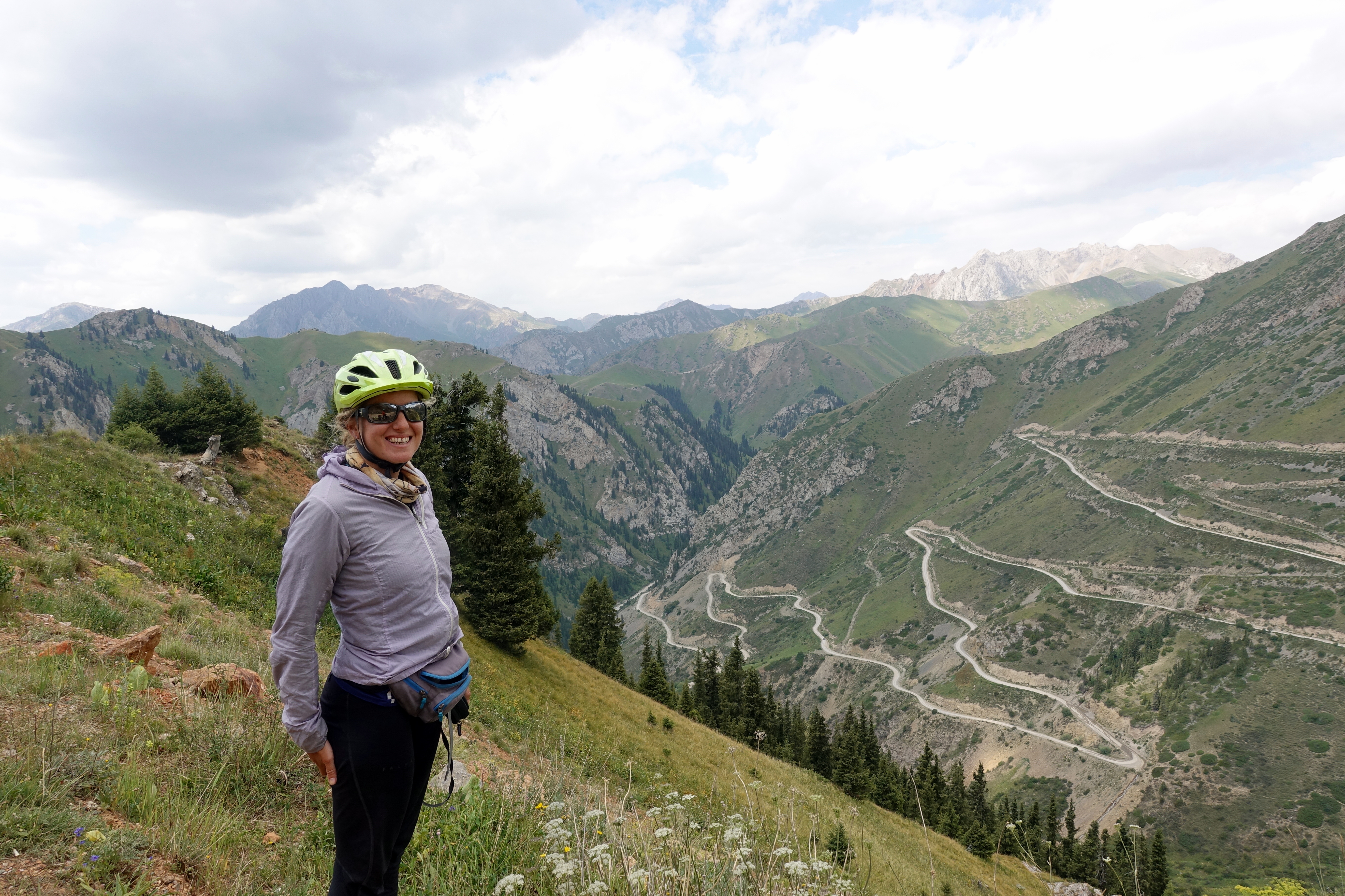
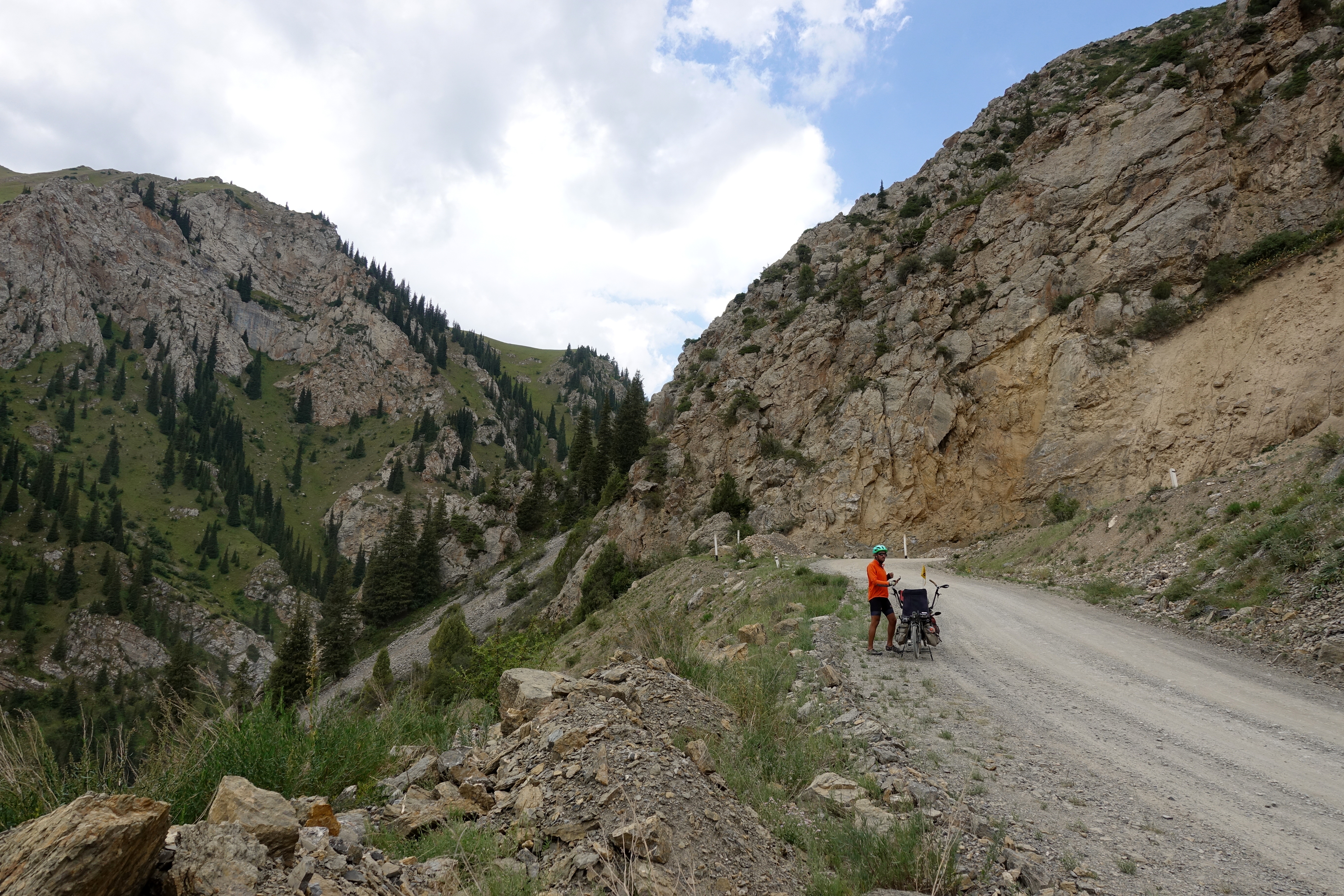


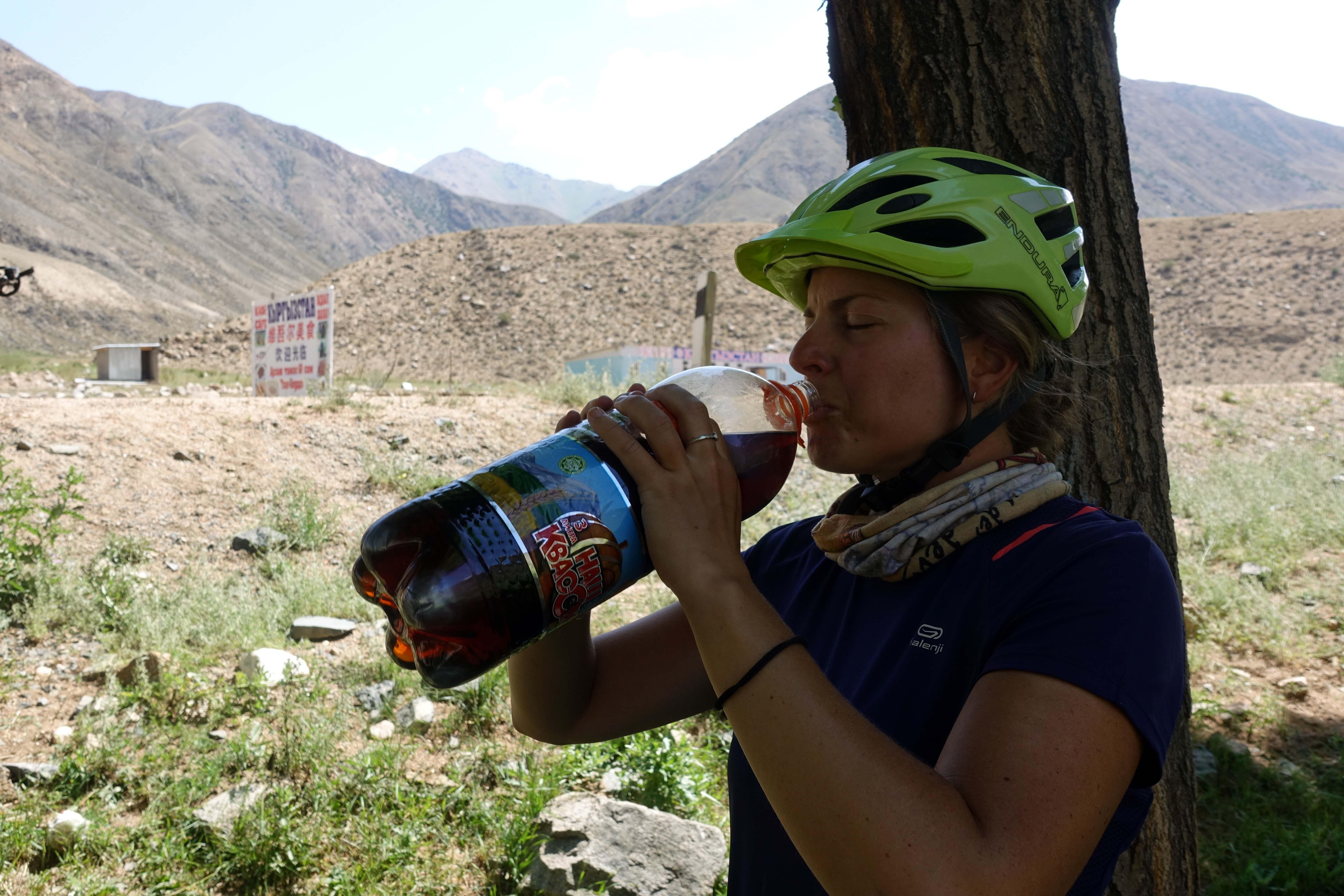
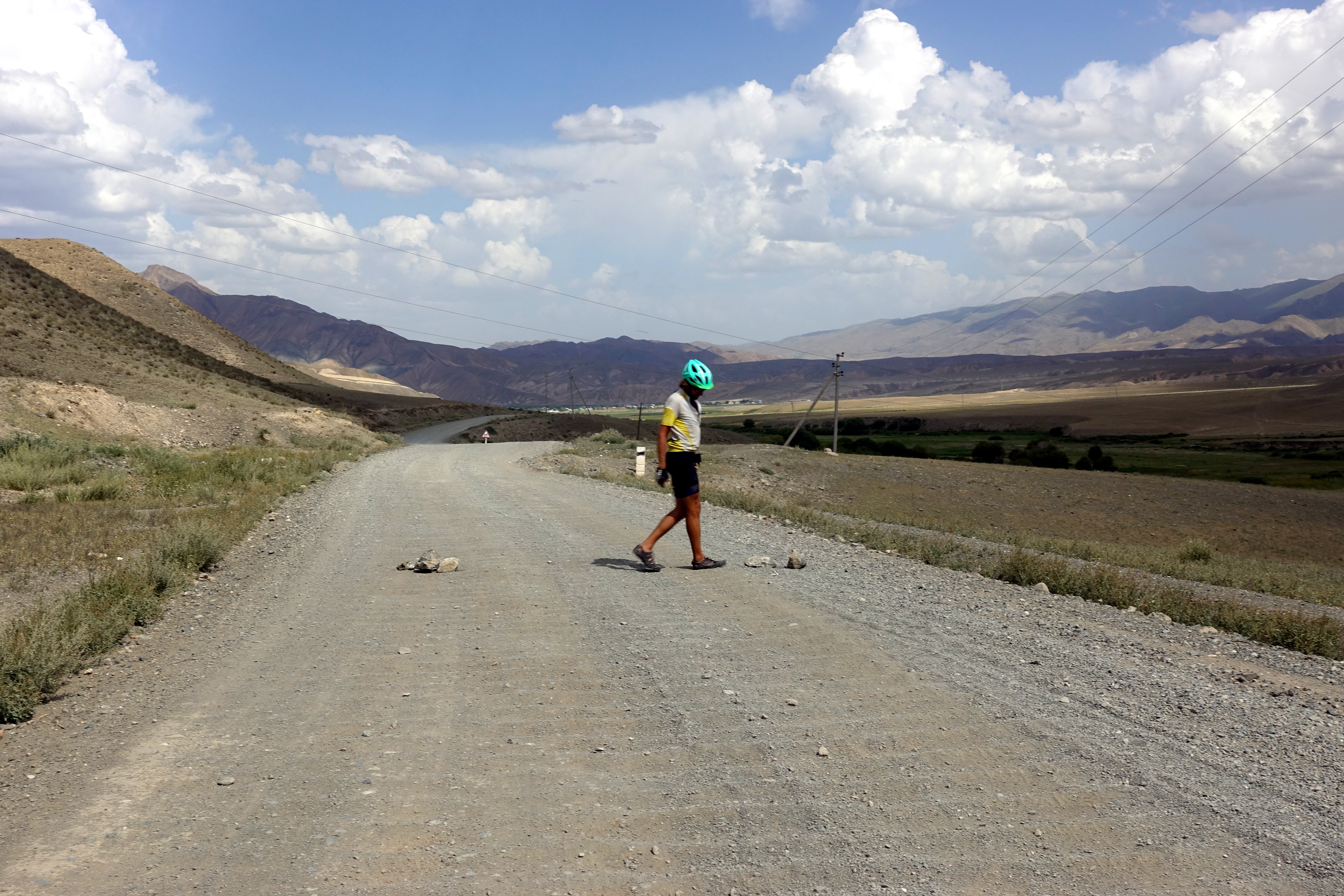
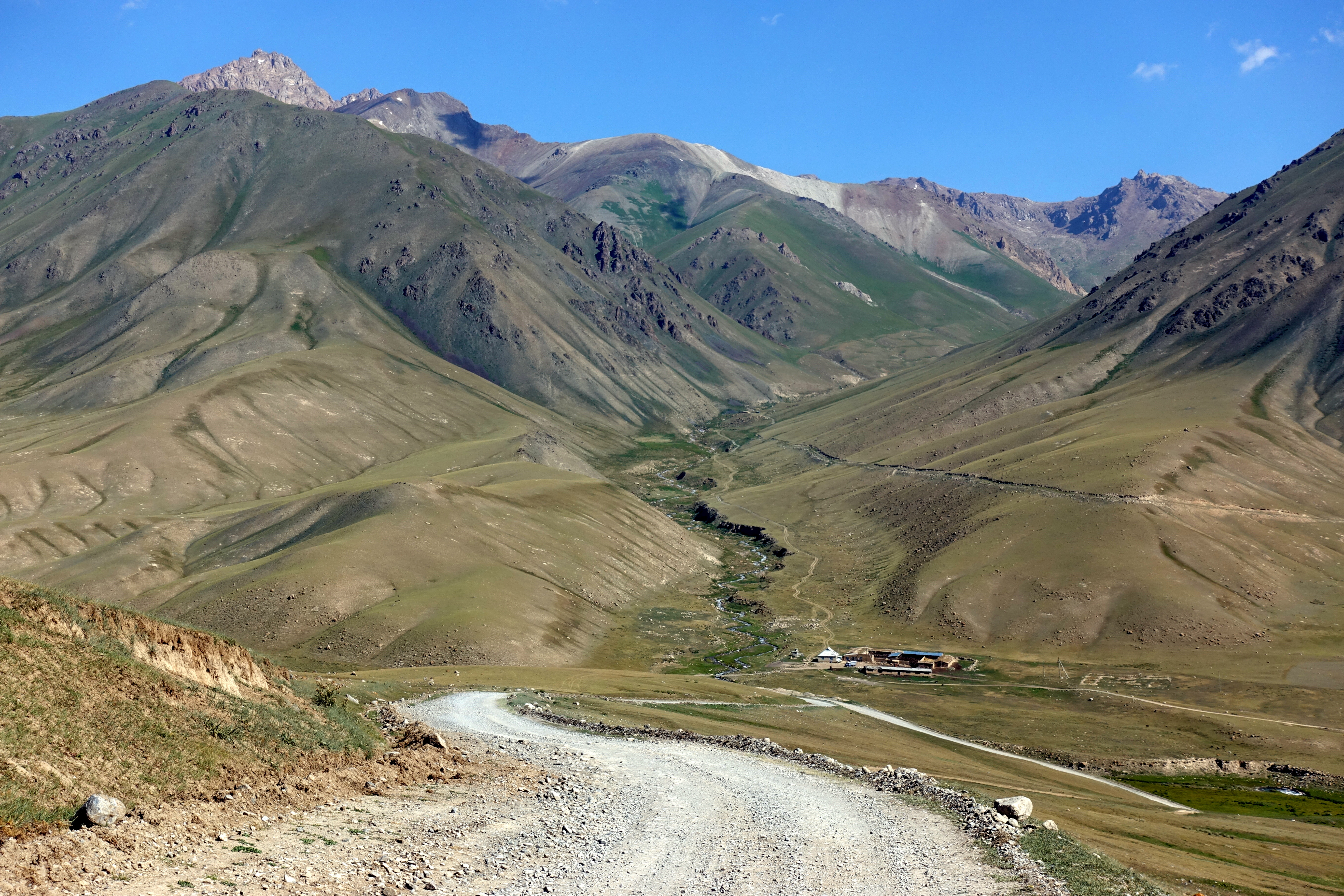
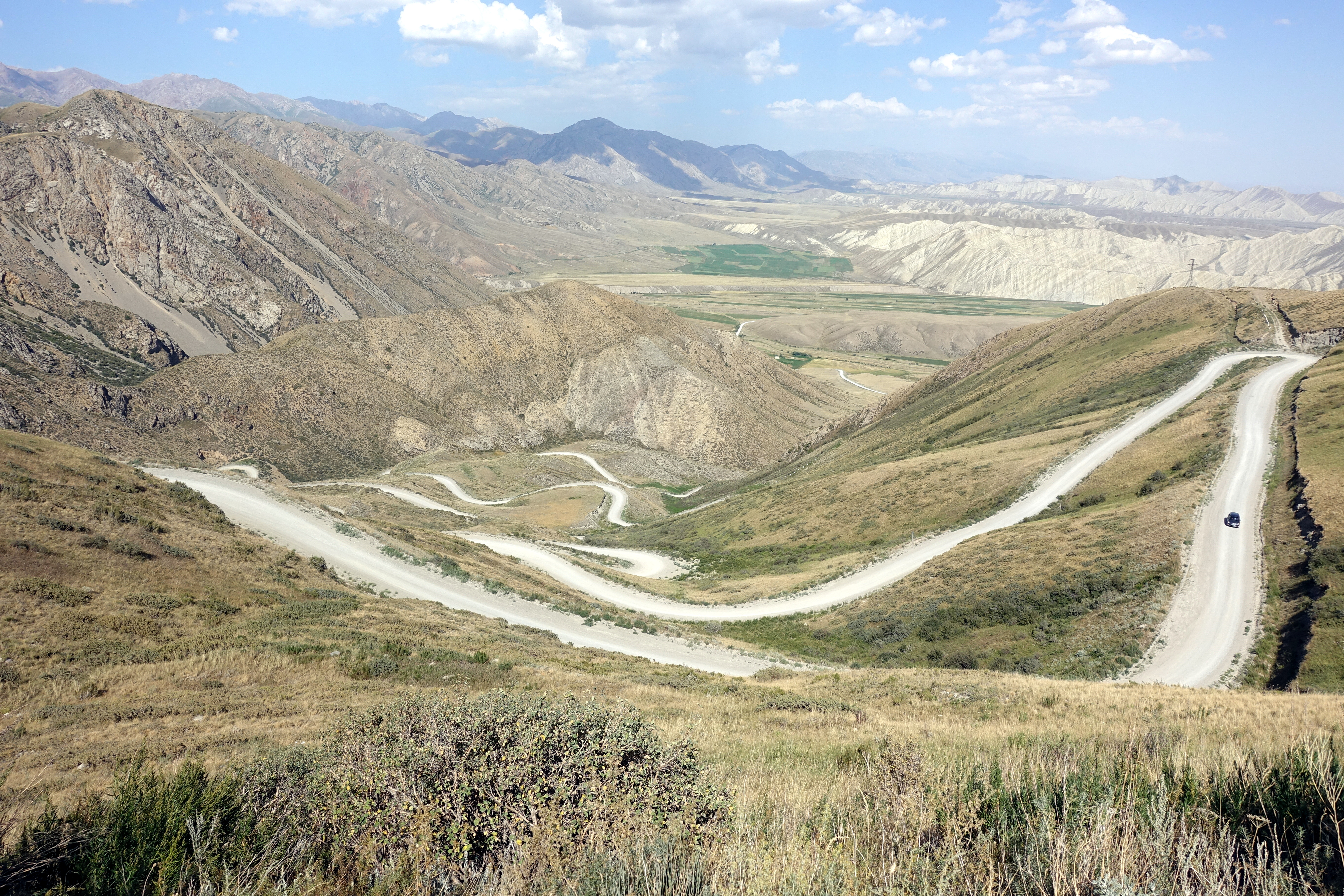
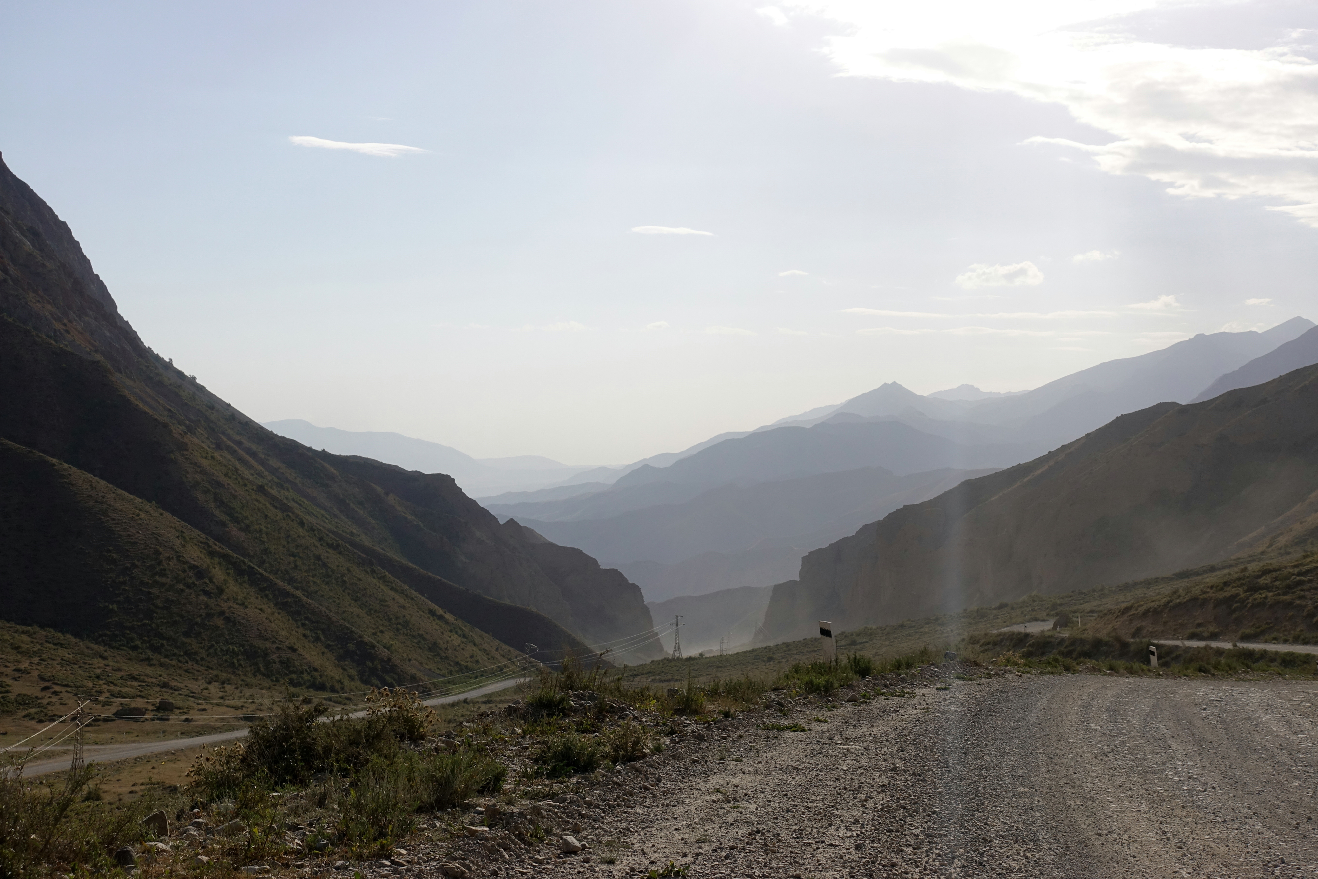
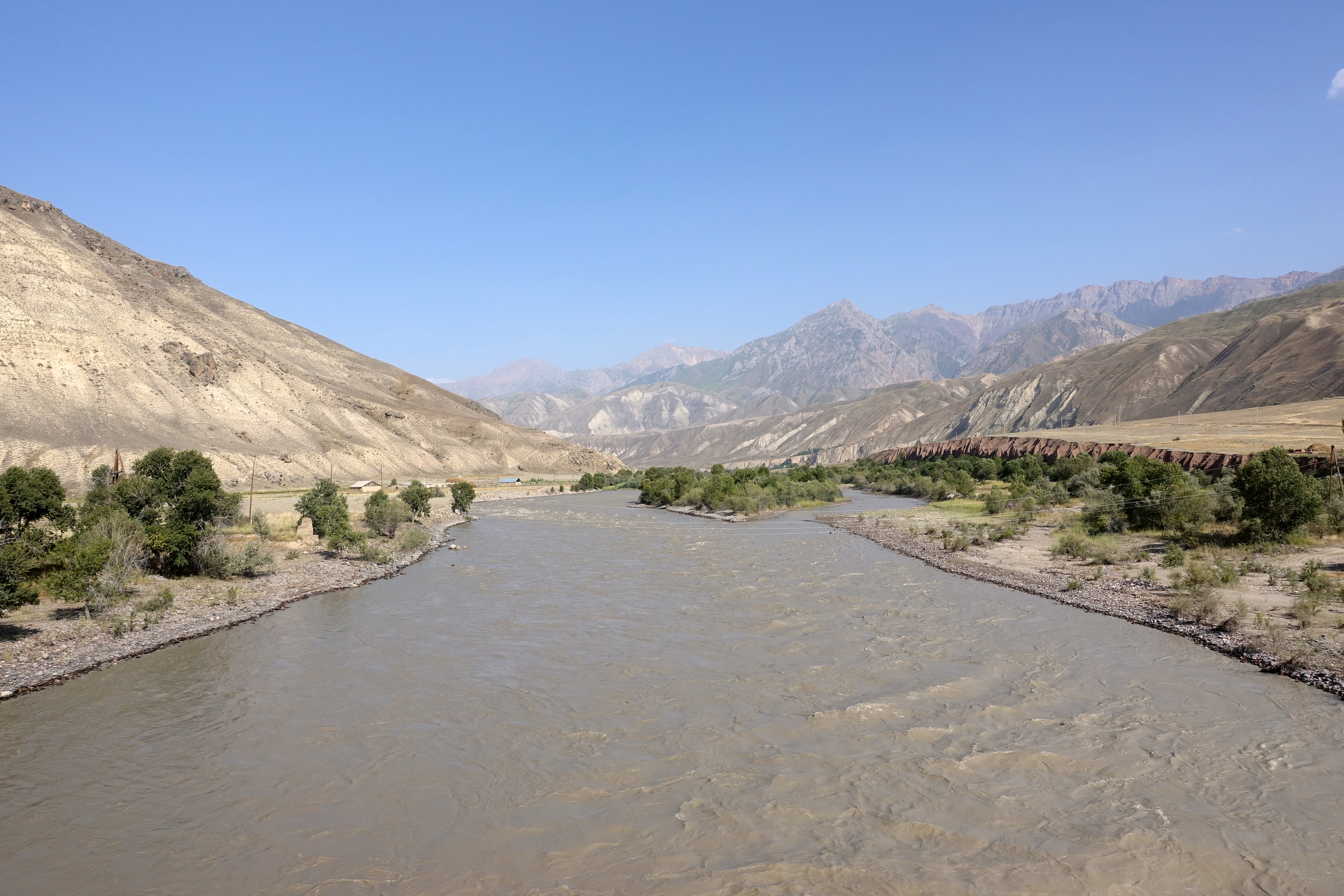
The next morning, we bid adieu to Simon and Steffi and started the long journey towards the Kara Koo pass. We hoped to somehow ride over the pass in the late afternoon, but the journey to the foot of the climb seemed never-ending. For the first part of the day, we were plagued with loose gravel and slogged along at max. 10 kilometers/hour down the road- to relieve the misery, we tried to focus on the surrounding landscapes instead of our depressing pace. Since it looked like it was going to take more days to get to Kazarman, we stopped in the last possible village and bought some more supplies for the trip. After a lunch in the shade 30km down the road, Cédric and I finally made it to the base of the pass at 2800m, and started the slow 1200 meter ascent – and the gravel road didn’t make it any easier. Around 5pm, we finally made it to the top, and some kids shouted at us, offering tea in the nearby yurt. We unfortunately didn’t accept the offer because we wanted to find a water source to camp next to before nightfall. A slow decent down a few kilometers, we found the first plausible water source – a well – and decided that this place was as good as any. As luck would have it, this area was also preferred by herds of sheep and horses that roamed the area, so our night wasn’t particularly quiet since we had to share the water spot with all the farm animals of the upper valley. The proximity to the road didn’t help either, as the water source is apparently also the place to (try to) repair the car that is unlikely to make it across the pass.


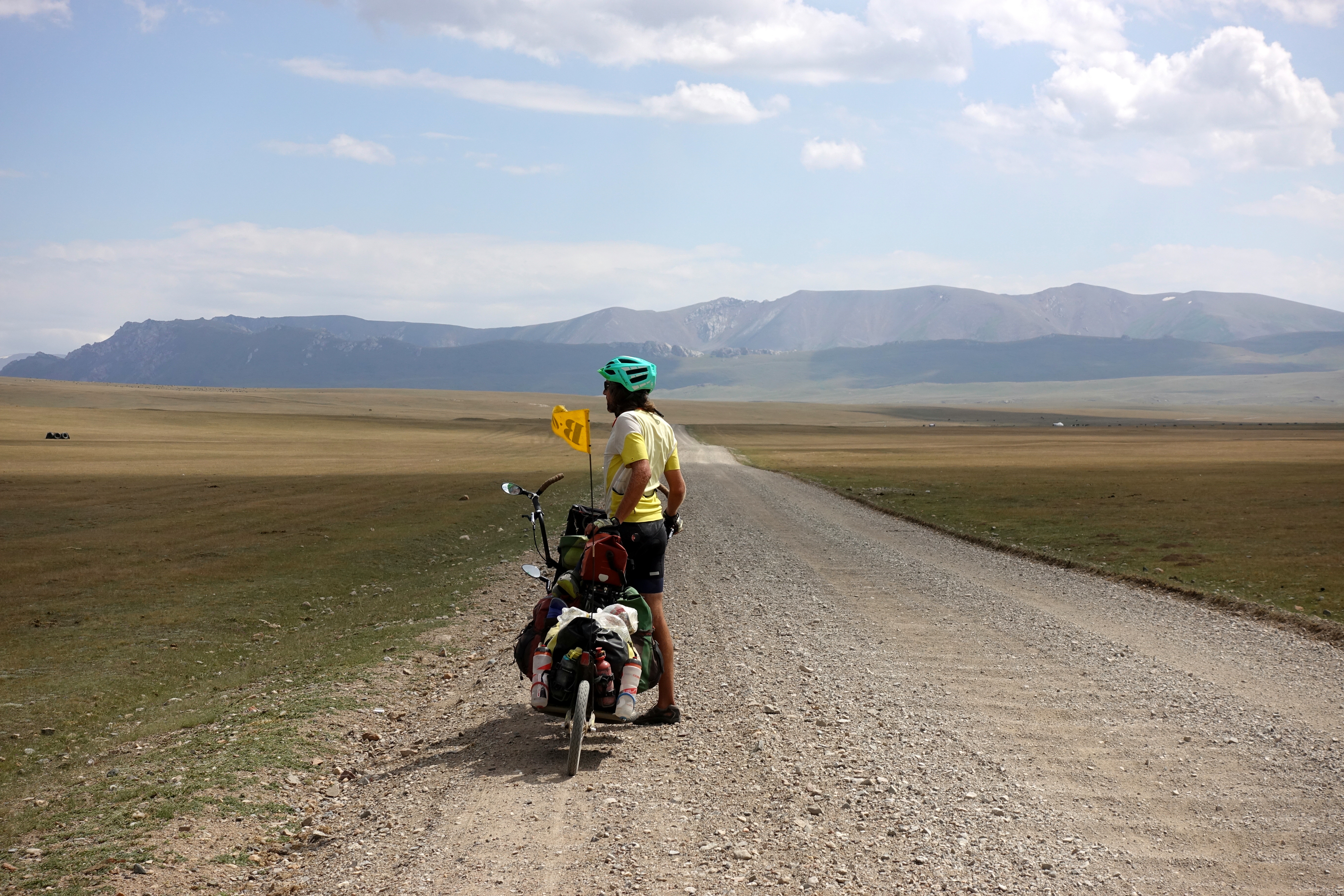
When we awoke the next morning, after a night of crappy sleep (thanks to animals and cars), our eyes were set on a guesthouse in Kazarman for our resting place that night. However, 75 kilometers of crappy gravel roads (and numerous hills) were between us and our goal. We continued our slow descent from the Kara Koo pass only to be greeted with a few smaller passes throughout the day. Along the way, we met a few cyclists and traded stories about the stretches that we just covered, everyone on a bike is aware that these several hundreds of kilometers are rough and not a pleasant ride. After our final descent (still lucky to top 10 km/h downhill on the gravel roads, that’s still twice faster than the ascent…) to the Kazarman valley, we still had a flat 17 kilometers to cover before we reached the city. We somehow had hopes that the road in the valley being flat, and used by farmers, it would be in a better condition. But here again, we were weaving back and forth on the road, looking for the smoothest track, and finally riding in some not-too-soft sand (although sand is a bit of a nightmare on a tandem become of the pressure on the tires) on the very edge of the road. In the late afternoon, windswept and dusty, we rolled into Kazarman and found a guesthouse to stay for the next two nights. Guide books mention Kazarman as a bit of a rough desolate place, separated from the rest of the country 8 months per year (there are mountain passes at over 2800m in every direction, and the passes are closed because of snow from the beginning of October to May…). Nothing to do: that’s a perfect spot for a rest day!

Marie-Claude and Philippe
August 17, 2018 — 20:12
Gorgeous landscape. I recognize the spot to which I called for discussing the part to be repaired…. Thankfully, your DIY looks working because the pieces are still in my wallet, ready to be shipped. Muscles will warm up in the coming days. We hope your ”Deutsch Qualitat” bike and you will bear the toughness of the road.
Aunt Jo
August 21, 2018 — 04:07
First of all, my butt is aching at the thought of all of those bumpy, gravelly, dusty roads; and second of all, Cassie, you brought allergy medicine for horses? Is this the first place on the trip you’ve been around them? Now that’s real planning! I’m surprised that there are that many people biking across that area; but glad you’ve had people to compare notes with.